-
Global SCIAMACHY and GOSAT Level 3 gridded atmospheric column-average methane (XCH4) product in Obs4MIPs format, 2003-2014
This dataset contains satellite-derived atmospheric column-average dry-air mole fractions of methane (XCH4), and is a Level 3 gridded product in Obs4MIPs format. It has been... -
PEATMAP - peatland distribution maps based on meta-analysis, 1999-2010, Global
PEATMAP is a GIS shapefile dataset that shows a distribution of peatlands that covers the entire world. It was produced by combining the most high quality available peatland map... -
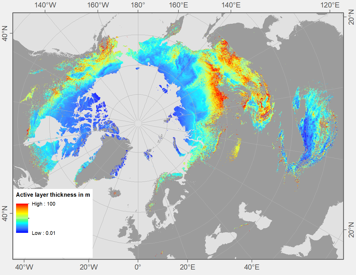
Permafrost active layer thickness for the Northern Hemisphere, v3.0 from MODIS LST, ERA5, 1997-2019
This dataset contains permafrost active layer thickness data produced as part of the European Space Agency's (ESA) Climate Change Initiative (CCI) Permafrost project. It forms... -
Cumulative greenhouse gas production in thawed sediments, 2019-2020, Yukechi Alas, Central Yakutia (RU)
This dataset describes two 17 m long sediment cores taken from beneath two thermokarst lakes in the Yukechi Alas, Central Yakutia, Russia. The first core was taken from below an... -
TCCON data from Ny-Ålesund, Svalbard (NO), Release GGG2020.R0
The Total Carbon Column Observing Network (TCCON) is a network of ground-based Fourier Transform Spectrometers that record direct solar absorption spectra of the atmosphere in...


