-
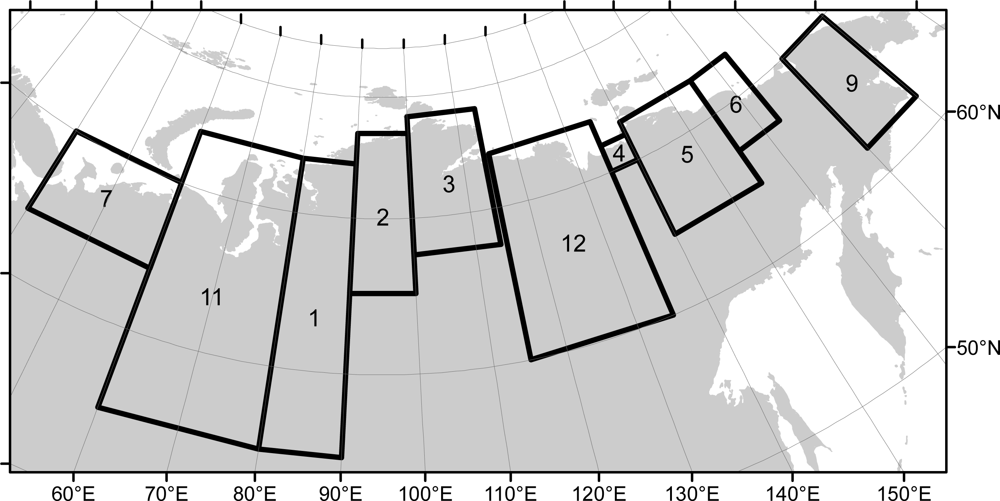
Aufeis (naleds) from 1958 historical maps and 2013-2017 Landsat-8 OLI images, Kolyma River basin, Siberia (RU)
The GIS database contains the data of aufeis (naleds) in the Kolyma River basin (Russia) from historical and nowadays sources, and complete ArcGIS 10.1/10.2 and Qgis 3* projects... -
Aufeis (naleds) from 1958 historical maps and 2013-2017 Landsat-8 OLI images, Yana River basin, Siberia (RU)
The GIS database contains the data of aufeis (naled) in the Yana River basin (Russia) from historical and nowadays sources, and complete ArcGIS 10.1/10.2 and Qgis 3* projects to... -
Aufeis (naleds) from 1958 historical maps and 2013-2017 Landsat-8 OLI images, Indigirka River basin, Siberia (RU)
The GIS database contains the data of aufeis (naleds) in the Indigirka River basin (Russia) from historical and nowadays sources, and complete ArcGIS 10.1/10.2 and Qgis 3*... -
Wetland maps including open water extent dynamics based on ENVISAT ASAR WS for Siberia, 2007 and 2008
Wetlands store large amounts of carbon, and depending on their status and type, they release specific amounts of methane gas to the atmosphere. The connection between wetland...


