-
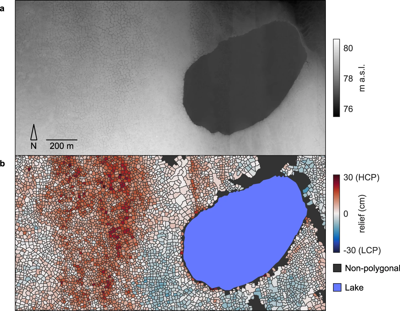
Ice wedge polygon occurrence and geomorphology from LiDAR elevation data, 2012 and 2014, south of Prudhoe Bay, Alaska (US)
We mapped the occurrence of more than one million ice wedge polygons over a landscape of approximately 1,200 square kilometers, just south of Prudhoe Bay in northern Alaska,... -
Land Surface Feature Classification from TerraSAR-X, 2013, Lena Delta, Laptev and East Siberian Sea Region (RU)
Land surface features (water, wetland, tundra, and bare surfaces) were classified from TerraSAR-X with a resolution of 5 m for August 2012 and July 2014. The product is based on... -
Land Surface Feature Classification from TerraSAR-X, 2016, Hershel Island, Beaufort Sea Region (CA)
Land surface features (water, wetland, tundra, and bare surfaces) were classified from TerraSAR-X with a resolution of 5 m for August 2016. The product is based on the... -
Land Surface Feature Classification from TerraSAR-X, 2016, Vaskiny Dachi, Western Siberia (RU)
Land surface features (water, wetland, tundra, and bare surfaces) were classified from TerraSAR-X with a resolution of 5 m for August 2016. The product is based on the... -
Land Surface Feature Classification from TerraSAR-X, 2013, Kytalyk, Central Yakutia (RU)
Land surface features (water, wetland, tundra, and bare surfaces) were classified from TerraSAR-X with a resolution of 5 m for July 2013. The product is based on the... -
Land Surface Feature Classification from TerraSAR-X, 2013, Mackenzie Delta, Beaufort Sea Region (CA)
Land surface features (water, wetland, tundra, and bare surfaces) were classified from TerraSAR-X with a resolution of 5 m for the period of July and August 2013. The product is... -
Land Surface Feature Classification from TerraSAR-X, 2013, Barrow, Alaska (US)
Land surface features (water, wetland, tundra, and bare surfaces) were classified from TerraSAR-X with a resolution of 5 m for the period of July and August 2013. The product is...


