-
Maps of ice wedge thermokarst pool expansion from twenty-seven circumpolar survey areas
This repository includes data and code to accompany the manuscript 'Topography controls variability in circumpolar permafrost thaw pond expansion' by Abolt et al. The data... -
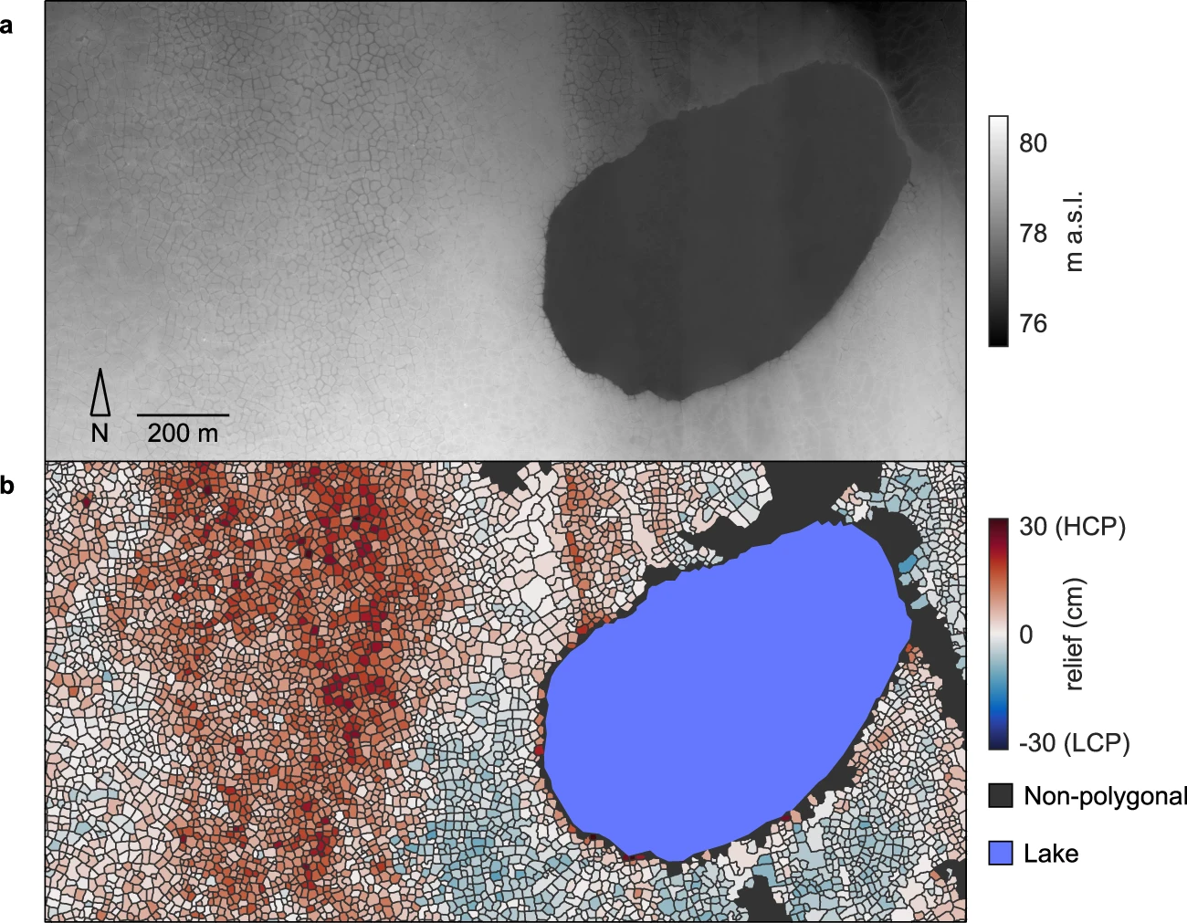
Ice wedge polygon occurrence and geomorphology from LiDAR elevation data, 2012 and 2014, south of Prudhoe Bay, Alaska (US)
We mapped the occurrence of more than one million ice wedge polygons over a landscape of approximately 1,200 square kilometers, just south of Prudhoe Bay in northern Alaska,...

