Skip to content
  • Log in
  • Register
Arctic Permafrost Geospatial Centre
  • Datasets
  • Categories
  • Projects
  • Collections
  • About
  • Map
  1. Home
  2. Groups
  3. Periglacial Inventories
periglacial-inventories

Periglacial Inventories

Permafrost Research Category read more

Datasets
1

Regions

  • North Slope (1)

Products

  • High-resolution map... (1)

Sensors

  • LiDAR, terrestrial ... (1)

Spatial Resolution

  • 0.5 m (1)

Temporal Resolution

  • August (1)

Keywords

  • Ice Wedge (1)
  • Permafrost (1)
  • Polygonal Networks (1)
  • Thermokarst (1)

Data Formats

  • Geotiff (1)
  • LASZ (1)
  • Matlab code (1)
  • SHP (1)
  • TAB (1)

Show More Data Formats

First Authors

  • Abolt, Charles J (1)

Projects

  • Periglacial Invento... (1)

Institutes

  • Earth and Environme... (1)

Publishers

  • PANGAEA (1)

close
  • About
  • Datasets
  • Activity Stream

1 dataset found

Regions: North Slope

Filter Results
  • Ice wedge polygon occurrence and geomorphology from LiDAR elevation data, 2012 and 2014, south of Prudhoe Bay, Alaska...

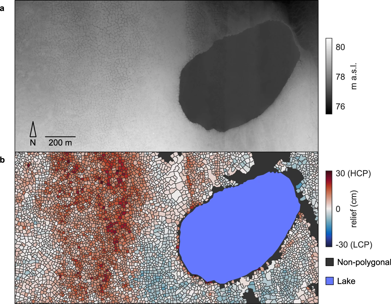
    We mapped the occurrence of more than one million ice wedge polygons over a landscape of approximately 1,200 square kilometers, just south of Prudhoe Bay in northern Alaska,...
    • TXT
    • Geotiff
    • SHP
    • TAB
    • LASZ
    • Matlab code
  • About Arctic Permafrost Geospatial Centre
  • CKAN API
  • Open Knowledge Foundation

  • Powered by CKAN

Initiated by

Provided by

Imprint | Privacy Notice