-
Gridded inventory of Canada's anthropogenic methane emissions for 2018
This dataset contains a gridded inventory of Canada's 2018 anthropogenic methane emissions at 0.1 x 0.1 degree. National and provincial emission totals in the inventory match... -
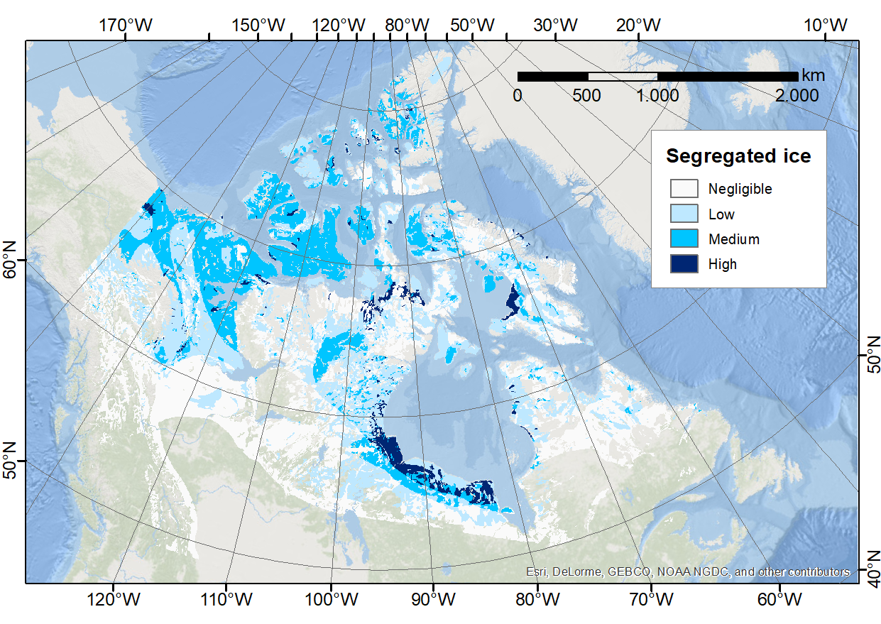
Ground ice maps from paleogeographic modelling approach, Canada (CA)
Ground ice melt caused by climate-induced permafrost degradation may trigger significant ecological change, damage infrastructure, and alter biogeochemical cycles. The... -
Northern Circumpolar Soil Carbon Database, Canada, geotiff- and netCDF-files
The Northern Circumpolar Soil Carbon Database version 2 (NCSCDv2) is a geospatial database created for the purpose of quantifying storage of organic carbon in soils of the...
Prístup do tohto zoznamu je možný aj cez API rozhranie API (viď. dokumentácia API Dokumenty API).


