• Log in
Arctic Permafrost Geospatial Centre
    • Datasets
    • Categories
    • Projects
    • Collections
    • About
    • Map
  1. Home
  2. Groups
  3. APGC latest
apgc-latest

APGC latest

Dynamic group for defining datasets for the "latest datasets" part of startpage. read more

Datasets
86

Regions

  • Arctic Coastal... (1)

Products

  • NDVI trend map (1)

Sensors

  • Landsat (TM, ETM+, OLI) (1)

Spatial Resolution

  • 30 m (1)

Temporal Resolution

  • July to August (1)

Keywords

  • NDVI (1)
  • Permafrost (1)
  • Vegetation productivity (1)

Data Formats

  • Geotiff (1)
  • HTML (1)
  • PNG (1)
  • XML (1)

First Authors

  • Lara, Mark J. (1)

Projects

  • Land Cover (1)
  • Landscape Dynamics (1)

Institutes

  • University of... (1)

Publishers

  • SNAP Data Portal (1)

close
  • Datasets
  • Members
  • About
  • Activity Stream

1 dataset found

First Authors: Lara, Mark J. Products: NDVI trend map

Filter Results
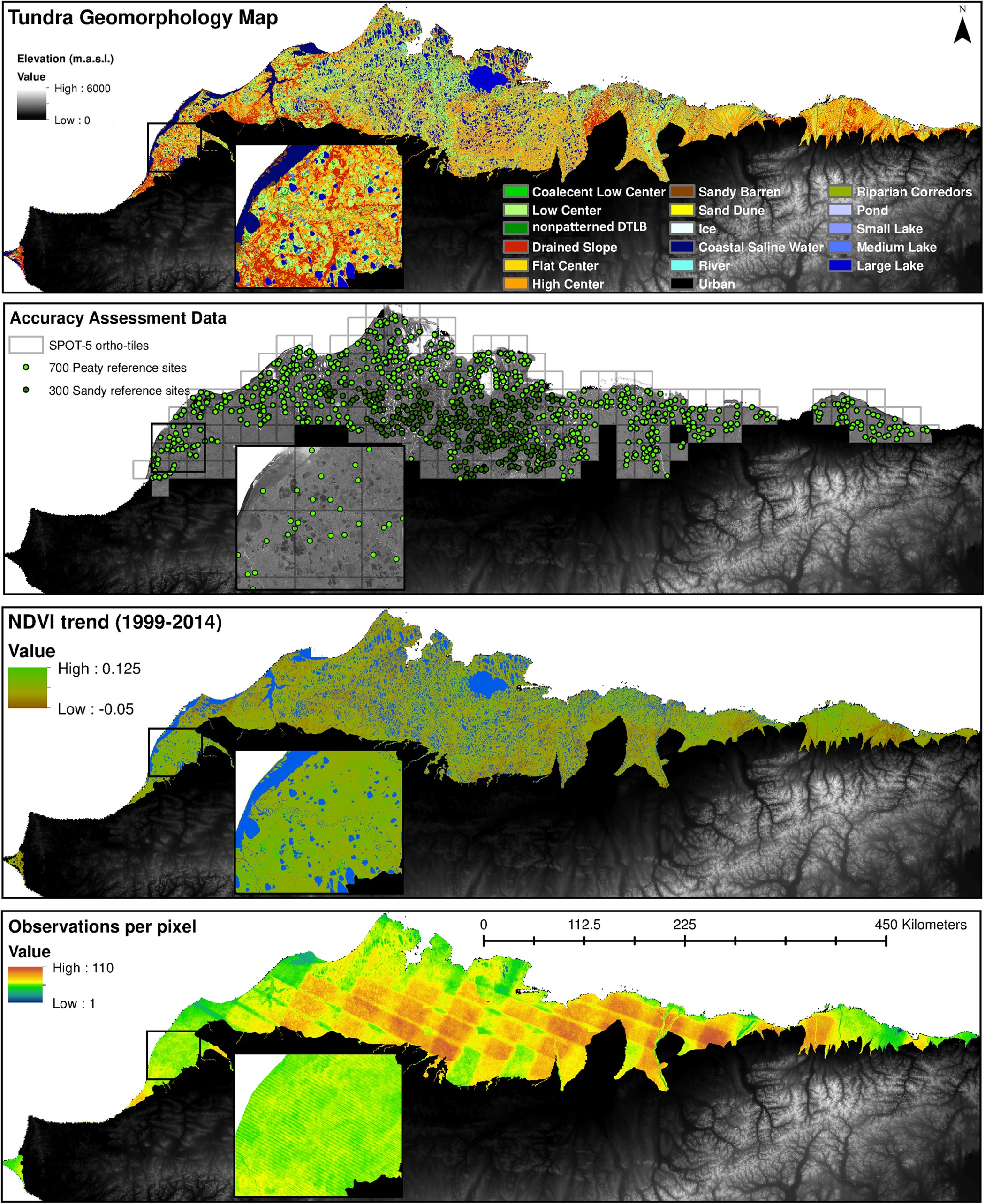
  • NDVI trend from Landsat time series, 1999-2014, Alaskan Arctic Coastal Plain (US)

    Normalized difference vegetation index (NDVI) trend map was computed for the Alaskan Arctic Coastal Plain between 1999 and 2014. The decadal trend of each pixel was computed...
    • Geotiff
    • XML
    • HTML
    • PNG
  • About Arctic Permafrost Geospatial Centre
  • CKAN API
  • Open Knowledge Foundation

  • Powered by CKAN

Initiated by

Provided by

Imprint | Privacy Notice