-
ABoVE: Lake and Wetland Classification from L-band SAR, Alaska and Canada, 2017-2019
This dataset contains a high-resolution land cover classification focused on water and wetland vegetation classes over three NASA ABoVE Campaign regions: Yukon Flats, Alaska,... -
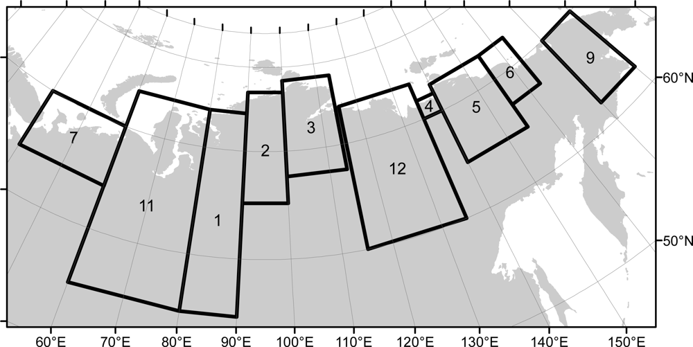
Wetland maps including open water extent dynamics based on ENVISAT ASAR WS for Siberia, 2007 and 2008
Wetlands store large amounts of carbon, and depending on their status and type, they release specific amounts of methane gas to the atmosphere. The connection between wetland... -
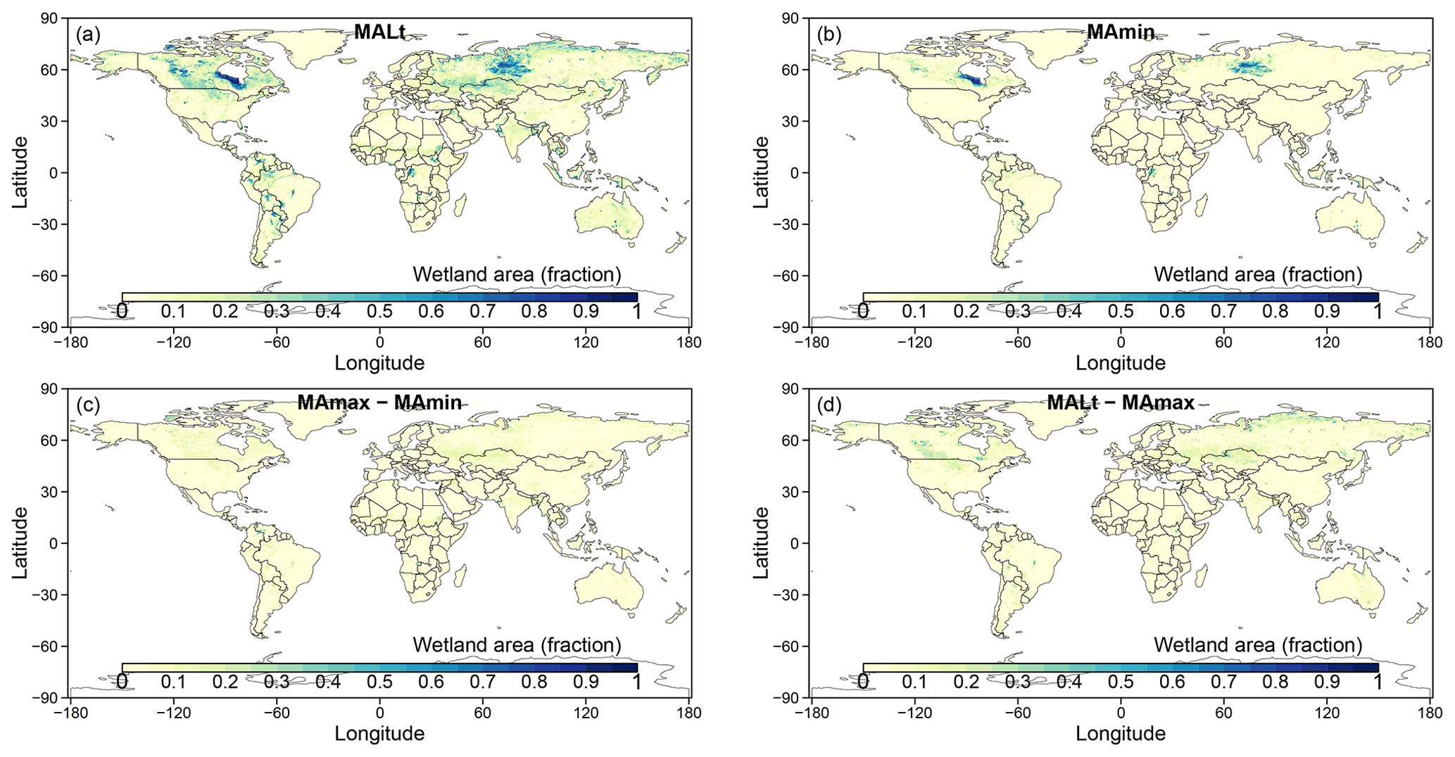
Monthly global dataset of Wetland Area and Dynamics for Methane Modeling (WAD2M) from Remote Sensing, 2000-2020
Seasonal and interannual variations in global wetland area is a strong driver of fluctuations in global methane (CH4) emissions. Current maps of global wetland extent vary with...


