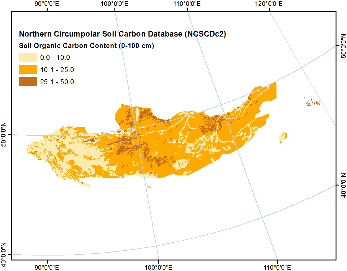
Conjuntos de datos Miembros Acerca de Flujo de Actividad Ordenar por Relevancia Nombre Ascendente Nombre Descendente Última modificación Popular Ir 1 conjunto de datos encontrado Products: Soil Classification Regions: Mongolia Spatial Resolution: 0.012° (WGS84); 1000 m (LAEA projection) Filtrar Resultados Northern Circumpolar Soil Carbon Database, Mongolia, geotiff- and netCDF-files The Northern Circumpolar Soil Carbon Database version 2 (NCSCDv2) is a geospatial database created for the purpose of quantifying storage of organic carbon in soils of the... JPEG Geotiff NetCDF PDF HTML