Preview
Descripción del conjunto de datos:
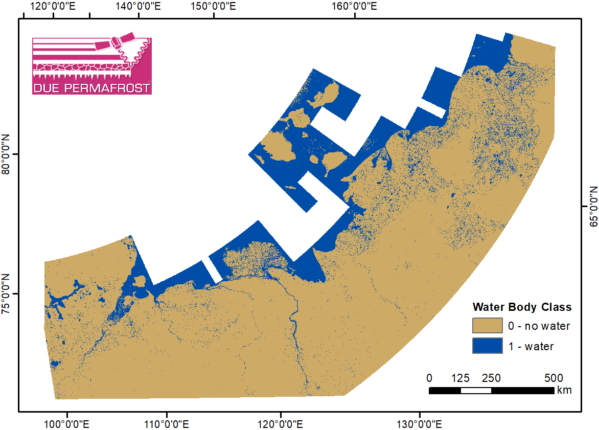
The regional waterbody classification is derived from ENVISAT ASAR Wide Swath data with 150 m resolution. Maps represent the extent of water bodies for the summer months July and August...
Información adicional
| Campo | Valor |
|---|---|
| Última actualización de los datos | 19 de abril de 2018 |
| Última actualización de los metadatos | 1 de noviembre de 2021 |
| Creado | 19 de abril de 2018 |
| Formato | PNG |
| Licencia | Creative Commons Attribution 3.0 Unported |
| Datastore active | False |
| Datastore contains all records of source file | False |
| Has views | True |
| Id | 72a858af-60aa-4ac5-979b-327cc891bdb1 |
| Package id | 5b35c271-5e7a-4af8-bdcb-173fb825d310 |
| Position | 0 |
| State | active |
| Tracking summary | {'total': 1, 'recent': 1} |
| Url type | upload |
Attention! The specified license is that of the dataset. Licenses from other sources, e.g. publications or figures related to the dataset, may be subject to other licenses.
