Überspringen zum Hauptinhalt
  • Einloggen
Arctic Permafrost Geospatial Centre
    • Datensätze
    • Kategorien
    • Projekte
    • Sammlungen
    • Über uns
    • Kartenanwendung
  1. Start
  2. Gruppen
  3. Properties & Extent
properties-extent

Properties & Extent

Permafrost Research Category mehr erfahren

Datensätze
71

Regionen

  • Circum-Arctic (1)

Produkte

  • Land Surface Temperature (1)

Sensoren

  • MODIS (1)

Räumliche Auflösung

  • 25 km (1)

Zeitliche Auflösung

  • Weekly (1)

Stichworte

  • Land Surface Temperature (1)
  • MODIS (1)
  • Permafrost (1)

Datenformate

  • Geotiff (1)
  • PDF (1)
  • PNG (1)

Erstautoren

  • Duguay, Claude R. (1)

Projekte

  • ESA DUE Permafrost (1)
  • MODIS Land Surface... (1)
  • PAGE21 (1)
  • PerSys (1)
  • Properties & Extent (1)

Institute

  • University of Waterloo (1)

Herausgeber

  • PANGAEA (1)

close
  • Datensätze
  • Mitglieder
  • Über uns
  • Aktivitätsanzeige

1 Datensatz gefunden

Räumliche Auflösung: 25 km Sensoren: MODIS

Ergebnisse filtern
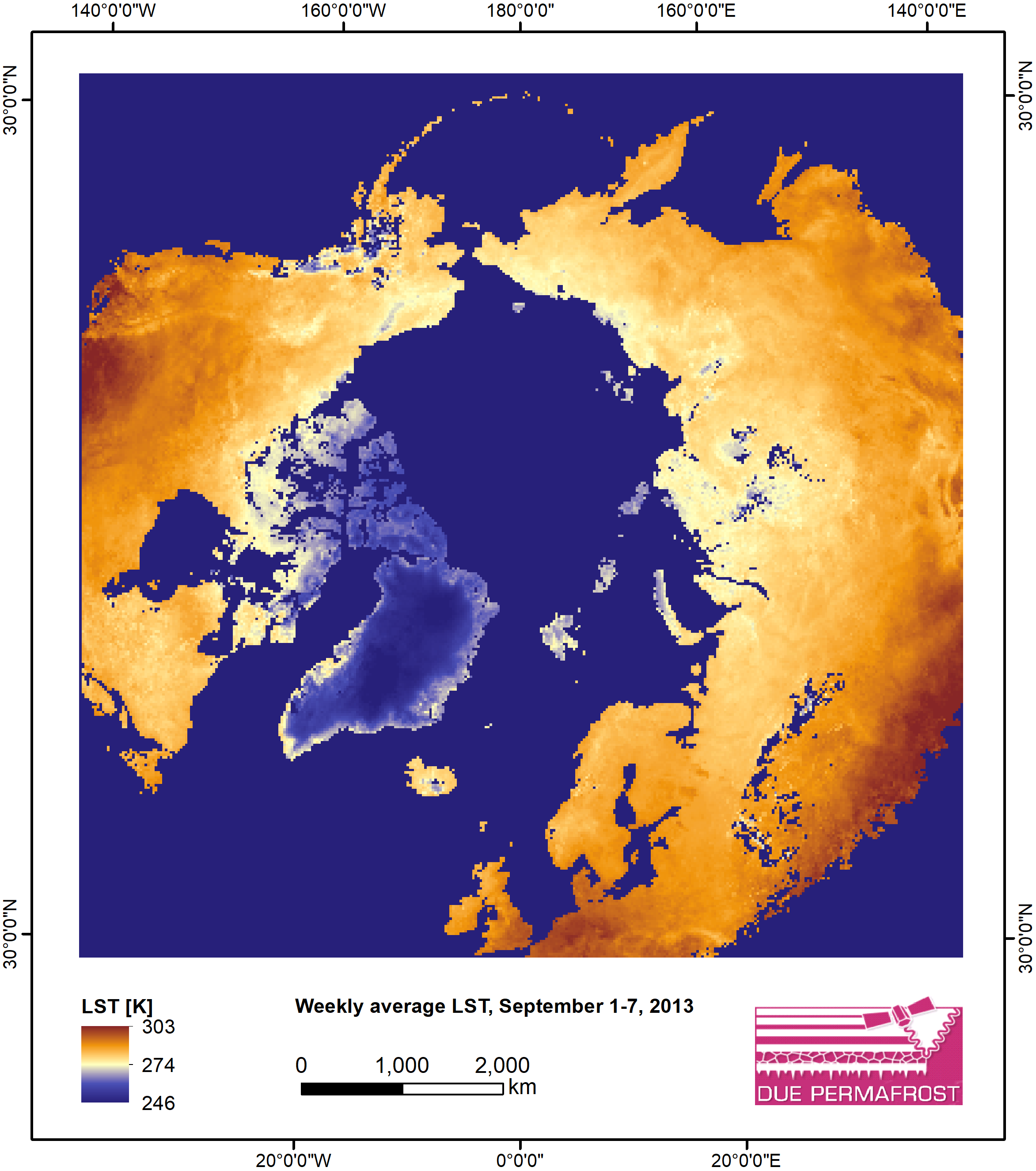
  • Weekly Land Surface Temperature from MODIS, 2007-2013, Circum-Arctic Region

    Weekly land surface temperature (LST) products of the ESA Data User Element (DUE) Permafrost are provided at 1 km spatial resolution. Weekly LST are available for the years 2007...
    • PNG
    • PDF
    • Geotiff
  • Über Arctic Permafrost Geospatial Centre
  • CKAN API
  • Open Knowledge Foundation

  • Unterstützt durch CKAN

Initiiert von

Bereitgestellt durch

Impressum | Datenschutzhinweis