Überspringen zum Hauptinhalt
  • Einloggen
Arctic Permafrost Geospatial Centre
    • Datensätze
    • Kategorien
    • Projekte
    • Sammlungen
    • Über uns
    • Kartenanwendung
  1. Start
  2. Collection
  3. Mapped polygon pattern...
mapped-polygon-pattern-geomorphometry-from-hrsc-ax

Mapped polygon pattern geomorphometry from HRSC-AX

Polygonal systems formed by thermal contraction cracking are complex landscape features widespread in terrestrial periglacial regions. The manner in which cracking occurs is... mehr erfahren

Datensätze
8

Regionen

  • Svalbard (1)

Produkte

  • polygon cracknet maps (1)

Sensoren

  • HRSC-AX (1)

Räumliche Auflösung

  • 0.5 m (1)

Zeitliche Auflösung

  • July-August (1)

Stichworte

  • Multivariate Statistic (1)
  • Patterned Ground (1)
  • Permafrost (1)
  • Permafrost Characteristic (1)
  • Polygonal Networks (1)

Mehr Stichworte anzeigen

Datenformate

  • HTML (1)
  • PNG (1)
  • SHP (1)

Erstautoren

  • Ulrich, Mathias (1)

Projekte

  • Ground Ice (1)
  • Mapped polygon... (1)
  • Periglacial Inventories (1)

Institute

  • AWI Alfred Wegener... (1)

Herausgeber

  • PANGAEA (1)

close
  • Datensätze
  • Mitglieder
  • Über uns
  • Aktivitätsanzeige

1 Datensatz gefunden

Produkte: polygon cracknet maps

Ergebnisse filtern
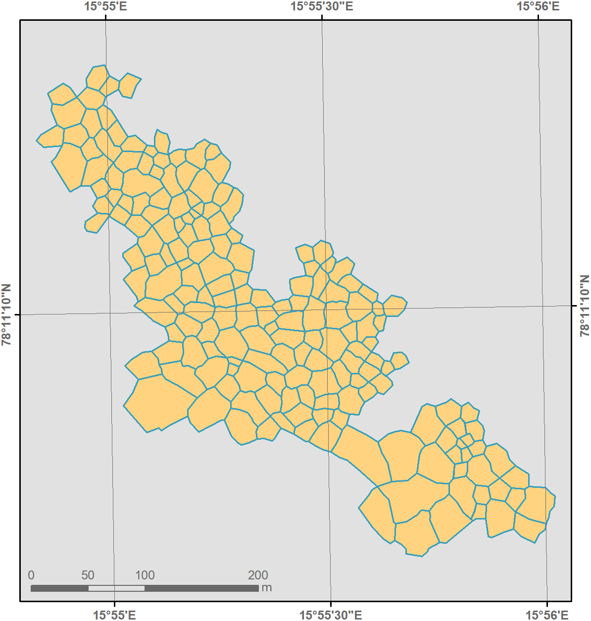
  • Mapped polygon pattern geomorphometry from HRSC-AX, 2009, Act-IWS Adventdalen, Svalbard (NO)

    Polygonal systems formed by thermal contraction cracking are complex landscape features widespread in terrestrial periglacial regions. The manner in which cracking occurs is...
    • SHP
    • HTML
    • PNG
  • Über Arctic Permafrost Geospatial Centre
  • CKAN API
  • Open Knowledge Foundation

  • Unterstützt durch CKAN

Initiiert von

Bereitgestellt durch

Impressum | Datenschutzhinweis