-
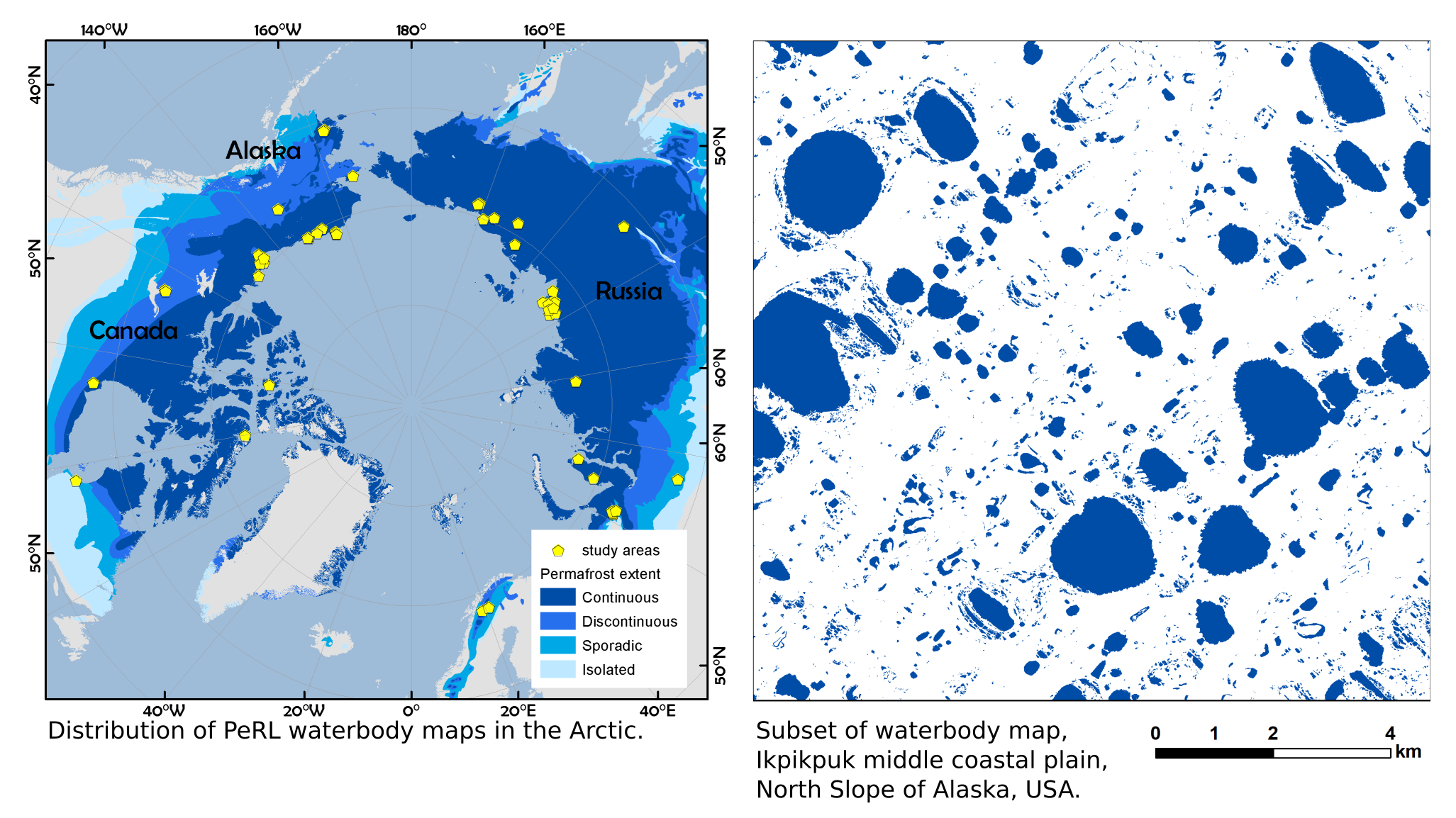
Permafrost Region Pond and Lake Database (PeRL)
The Permafrost Region Pond and Lake Database (PeRL) presents the results of a circum-arctic effort to map ponds and lakes from modern (2002-2013) high-resolution aerial and... -
Quantification of shoreline movements from satellite remote sensing, 1951-2011, Yukon Territory mainland coast (CA)
The Arctic is warming, but the impacts on its coasts are not well documented. To better understand the reaction of Arctic coasts to increasing environmental pressure, shoreline...

