-
Land Surface Feature Classification from TerraSAR-X, 2013, Barrow, Alaska (US)
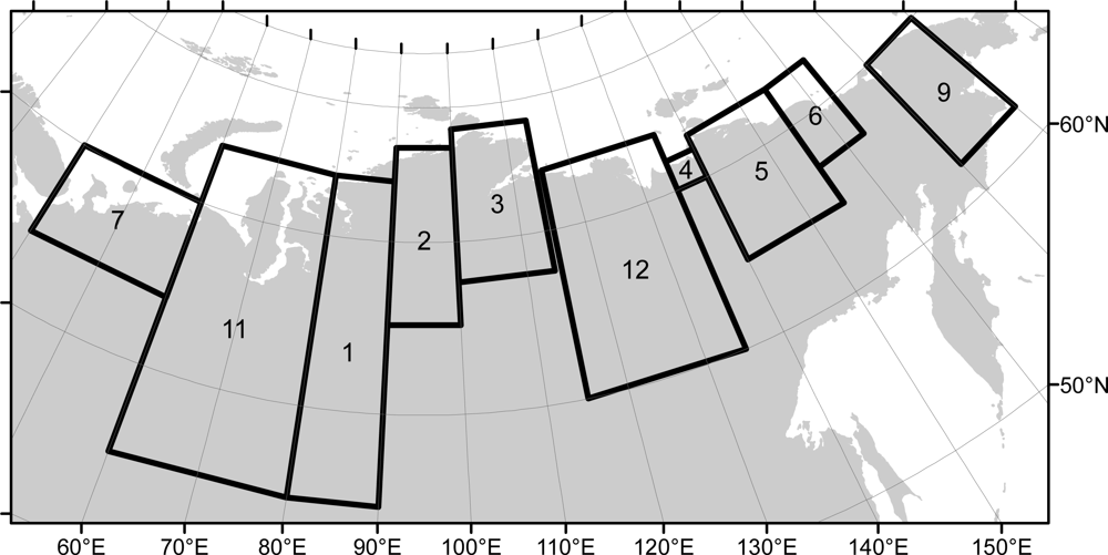
Land surface features (water, wetland, tundra, and bare surfaces) were classified from TerraSAR-X with a resolution of 5 m for the period of July and August 2013. The product is... -
Land Surface Feature Classification from TerraSAR-X, 2013, Kytalyk, Central Yakutia (RU)
Land surface features (water, wetland, tundra, and bare surfaces) were classified from TerraSAR-X with a resolution of 5 m for July 2013. The product is based on the... -
Land Surface Feature Classification from TerraSAR-X, 2013, Mackenzie Delta, Beaufort Sea Region (CA)
Land surface features (water, wetland, tundra, and bare surfaces) were classified from TerraSAR-X with a resolution of 5 m for the period of July and August 2013. The product is... -
Land Surface Feature Classification from TerraSAR-X, 2013, Lena Delta, Laptev and East Siberian Sea Region (RU)
Land surface features (water, wetland, tundra, and bare surfaces) were classified from TerraSAR-X with a resolution of 5 m for August 2012 and July 2014. The product is based on... -
Wetland maps including open water extent dynamics based on ENVISAT ASAR WS for Siberia, 2007 and 2008
Wetlands store large amounts of carbon, and depending on their status and type, they release specific amounts of methane gas to the atmosphere. The connection between wetland... -
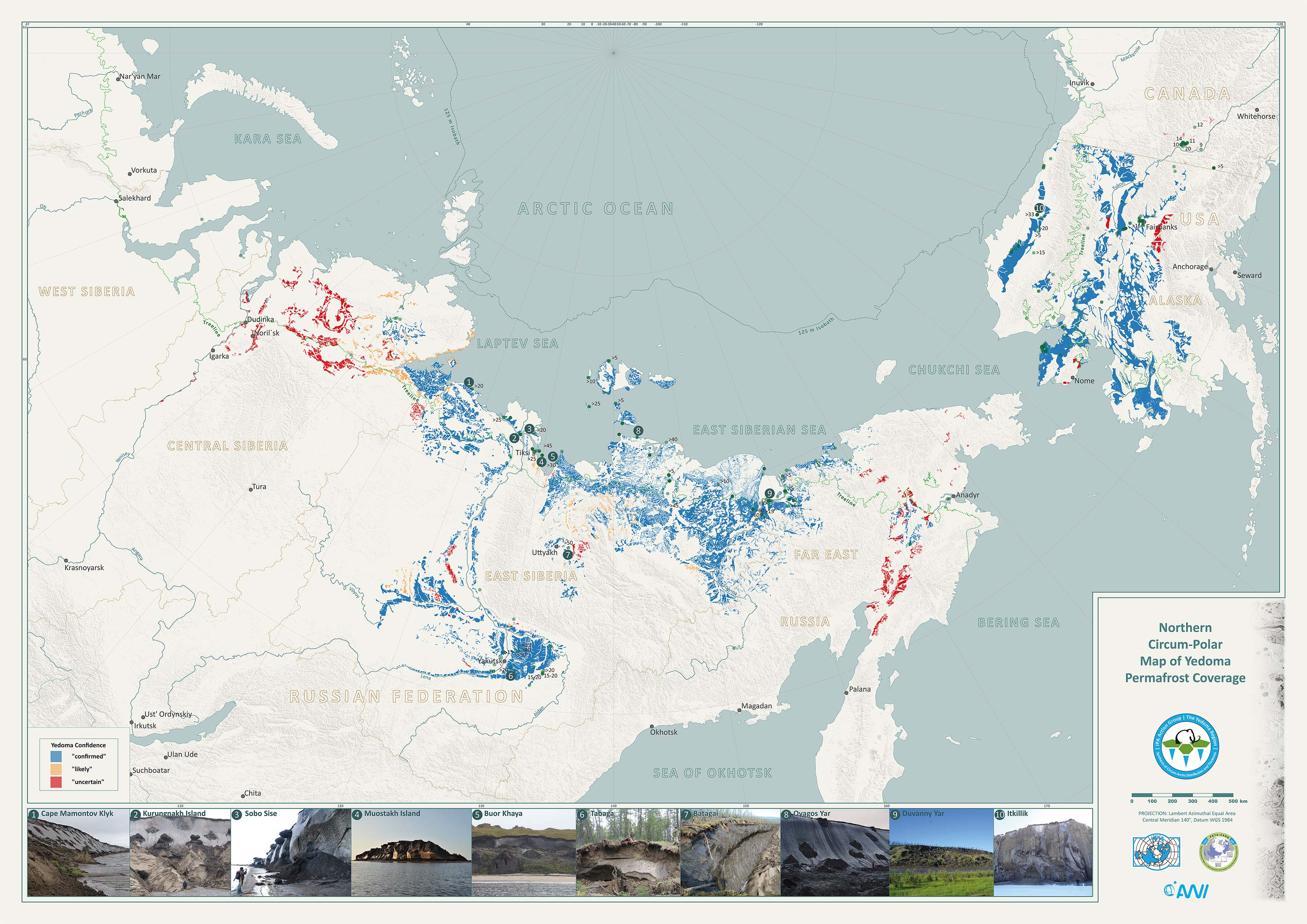
Database of Ice-Rich Yedoma Permafrost Version 2 (IRYP v2)
Ice-rich permafrost in the circum-Arctic and sub-Arctic, such as late Pleistocene Yedoma, are especially prone to degradation due to climate change or human activity. When...


