• Log in
Arctic Permafrost Geospatial Centre
    • Datasets
    • Categories
    • Projects
    • Collections
    • About
    • Map
  1. Home
  2. Categorys
  3. Ground Ice
ground-ice

Ground Ice

Permafrost Research Category read more

Datasets
49

Regions

  • Svalbard (1)

Products

  • polygon cracknet maps (1)

Sensors

  • HRSC-AX (1)

Spatial Resolution

  • 0.5 m (1)

Temporal Resolution

  • July-August (1)

Keywords

  • Multivariate Statistic (1)
  • Patterned Ground (1)
  • Permafrost (1)
  • Permafrost Characteristic (1)
  • Polygonal Networks (1)

Show More Keywords

Data Formats

  • HTML (1)
  • PNG (1)
  • SHP (1)

First Authors

  • Ulrich, Mathias (1)

Projects

  • Ground Ice (1)
  • Mapped polygon... (1)
  • Periglacial Inventories (1)

Institutes

  • AWI Alfred Wegener... (1)

Publishers

  • PANGAEA (1)

close
  • Datasets
  • Members
  • About
  • Activity Stream

1 dataset found

Products: polygon cracknet maps Temporal Resolution: July-August

Filter Results
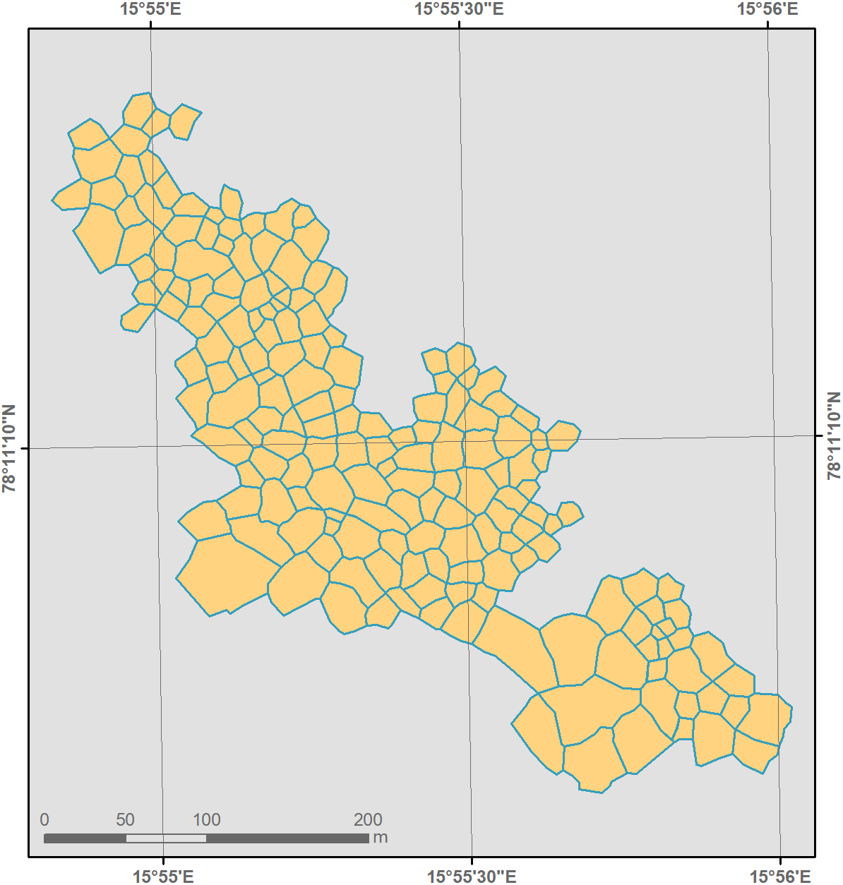
  • Mapped polygon pattern geomorphometry from HRSC-AX, 2009, Act-IWS Adventdalen, Svalbard (NO)

    Polygonal systems formed by thermal contraction cracking are complex landscape features widespread in terrestrial periglacial regions. The manner in which cracking occurs is...
    • SHP
    • HTML
    • PNG
  • About Arctic Permafrost Geospatial Centre
  • CKAN API
  • Open Knowledge Foundation

  • Powered by CKAN

Initiated by

Provided by

Imprint | Privacy Notice