• Log in
Arctic Permafrost Geospatial Centre
    • Datasets
    • Categories
    • Projects
    • Collections
    • About
    • Map
  1. Home
  2. Categorys
  3. Hydrology
hydrology

Hydrology

Permafrost Research Category read more

Datasets
138

Regions

  • Global (1)

Products

  • global WAD2M dataset (1)

Sensors

  • Remote Sensing (1)

Spatial Resolution

  • 25 km, 50 km (1)

Temporal Resolution

  • monthly (1)

Keywords

  • Land Surface Modeling (1)
  • Methane (1)
  • Remote Sensing (1)
  • Wetland extent (1)

Data Formats

  • HTML (1)
  • NetCDF (1)
  • PDF (1)

First Authors

  • Zhang, Zhen (1)

Projects

  • AMPAC-Net Geospatial (1)
  • Arctic Methane and... (1)
  • Biogeochemistry (1)
  • Hydrology (1)

Show More Projects

Institutes

  • Department of... (1)

Publishers

  • zenodo (1)

close
  • Datasets
  • Members
  • About
  • Activity Stream

1 dataset found

Publishers: zenodo Regions: Global

Filter Results
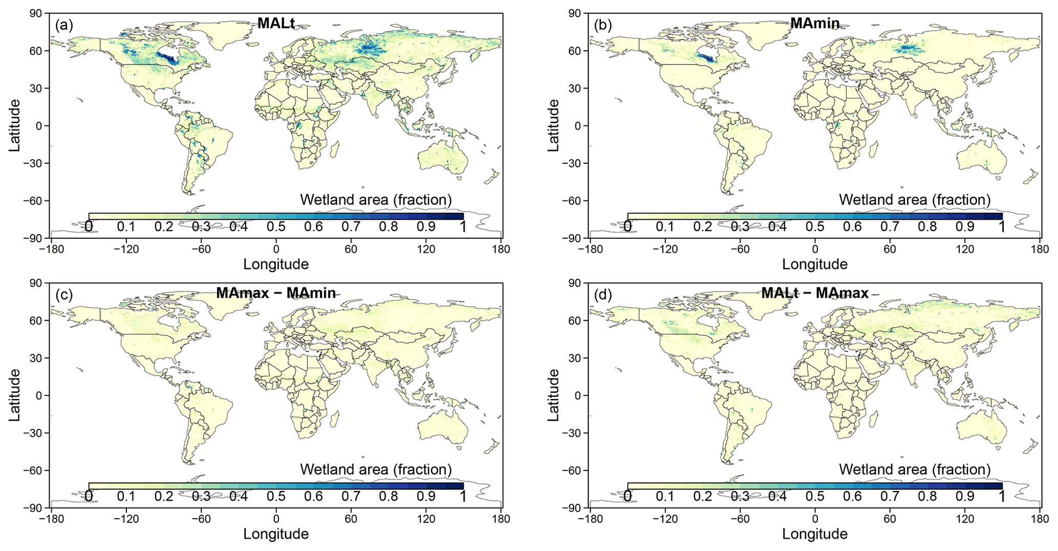
  • Monthly global dataset of Wetland Area and Dynamics for Methane Modeling (WAD2M) from Remote Sensing, 2000-2020

    Seasonal and interannual variations in global wetland area is a strong driver of fluctuations in global methane (CH4) emissions. Current maps of global wetland extent vary with...
    • PDF
    • NetCDF
    • HTML
  • About Arctic Permafrost Geospatial Centre
  • CKAN API
  • Open Knowledge Foundation

  • Powered by CKAN

Initiated by

Provided by

Imprint | Privacy Notice