• 登入
Arctic Permafrost Geospatial Centre
    • 資料集
    • Categories
    • Projects
    • Collections
    • 關於
    • Map
  1. 首頁
  2. 群組
  3. Arctic Methane and Permafrost Challenge
ampac

Arctic Methane and Permafrost Challenge

What are the current methane emissions in the Arctic and what are the sources and sinks? Will the fraction of the carbon permafrost feedback increase in the future? Why do we... 讀取更多

資料集
82

Regions

  • Global (1)

Products

  • global WAD2M dataset (1)

Sensors

  • Remote Sensing (1)

Spatial Resolution

  • 25 km, 50 km (1)

Temporal Resolution

  • monthly (1)

Keywords

  • Land Surface Modeling (1)
  • Methane (1)
  • Remote Sensing (1)
  • Wetland extent (1)

Data Formats

  • HTML (1)
  • NetCDF (1)
  • PDF (1)

First Authors

  • Zhang, Zhen (1)

Projects

  • AMPAC-Net Geospatial (1)
  • Arctic Methane and... (1)
  • Biogeochemistry (1)
  • Hydrology (1)

顯示更多 Projects

Institutes

  • Department of... (1)

Publishers

  • zenodo (1)

close
  • 資料集
  • 成員
  • 關於
  • 動態牆

找到1個資料集

Sensors: Remote Sensing

篩選結果
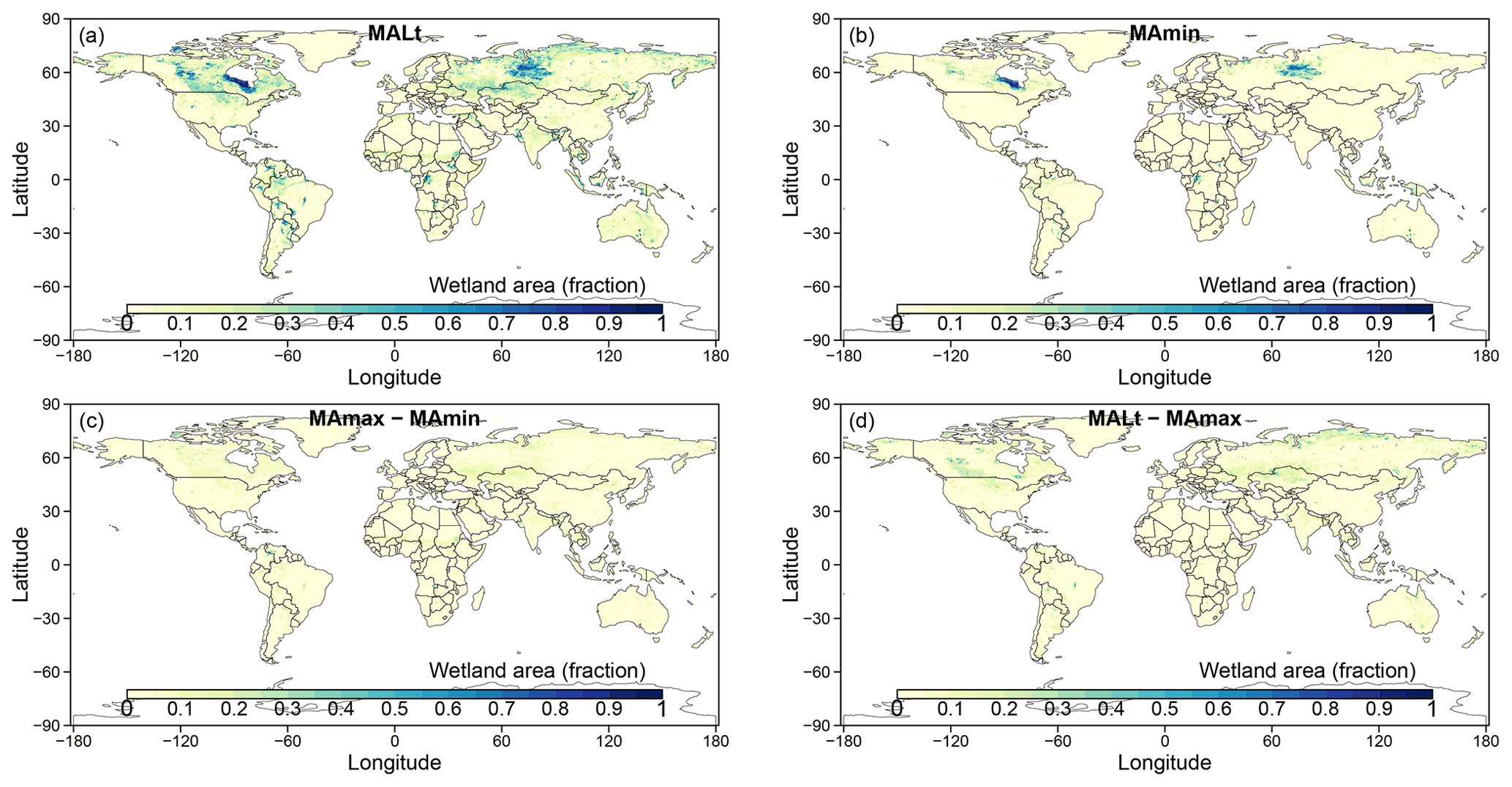
  • Monthly global dataset of Wetland Area and Dynamics for Methane Modeling (WAD2M) from Remote Sensing, 2000-2020

    Seasonal and interannual variations in global wetland area is a strong driver of fluctuations in global methane (CH4) emissions. Current maps of global wetland extent vary with...
    • PDF
    • NetCDF
    • HTML
  • 關於Arctic Permafrost Geospatial Centre
  • CKAN API
  • Open Knowledge Foundation

  • Powered by CKAN

Initiated by

Provided by

Imprint | Privacy Notice