• Logg inn
Arctic Permafrost Geospatial Centre
    • Datasett
    • Categories
    • Projects
    • Collections
    • Om
    • Map
  1. Hjem
  2. Organisasjoner
  3. PANGAEA
pangaea

PANGAEA

Data Publisher for Earth & Environmental Science

les mer

Følgere
0
Datasett
265
Medlemmer
0

Regions

  • Siberia (1)

Products

  • Wetland maps (1)

Sensors

  • ENIVSAT ASAR (1)

Spatial Resolution

  • 75m (1)

Temporal Resolution

  • 10 day intervals (1)

Keywords

  • C-band (1)
  • Synthetic Aperture Radar (1)
  • Wetland extent (1)
  • Wetlands (1)

Data Formats

  • ZIP (1)

First Authors

  • Reschke, Julia (1)

Projects

  • AMPAC-Net Geospatial (1)
  • Arctic Methane and... (1)
  • Land Cover (1)

Institutes

  • Vienna University... (1)

Publishers

  • PANGAEA (1)

close
  • Datasett
  • Medlemmer
  • Om
  • Aktivitetsstrøm

Fant 1 datasett

Temporal Resolution: 10 day intervals

Filterresultater
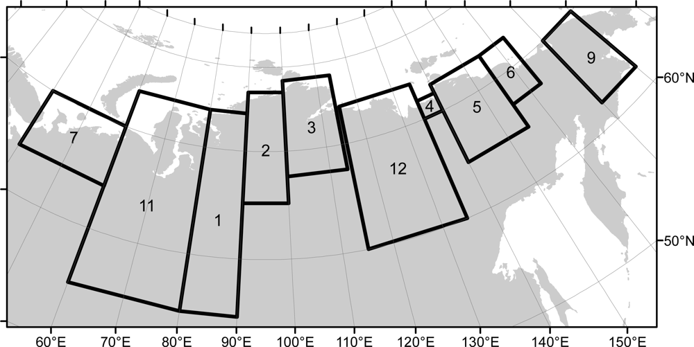
  • Wetland maps including open water extent dynamics based on ENVISAT ASAR WS for Siberia, 2007 and 2008

    Wetlands store large amounts of carbon, and depending on their status and type, they release specific amounts of methane gas to the atmosphere. The connection between wetland...
    • ZIP
  • Om Arctic Permafrost Geospatial Centre
  • CKAN API
  • Open Knowledge Foundation

  • Powered by CKAN

Initiated by

Provided by

Imprint | Privacy Notice