-
Spatial lake dynamics and lake-ice datasets of the Northern Seward and Baldwin Peninsulas in Alaska
The data publication contains supplementary data to the article "Supplementary Dataset to: The catastrophic thermokarst lake drainage events of 2018 in northwestern Alaska:... -
Arctic Coastal Human Impact dataset (SACHI) derived from Sentinel-1/2, 2016-2020, Circum-Arctic
The SACHI (Sentinel-1/2 derived Arctic Coastal Human Impact) V1 dataset was developed as part of the HORIZON2020 project Nunataryuk by b.geos (www.bgeos.com). V1 covered a 100km... -
Distribution and morphometry of pingos, western Canadian Arctic, Northwest Territories, (CA)
GIS shape files including spatial and morphometric data of pingos in the western Canadian Arctic and accompanying Excel spreadsheet summarizing metrics for pingos of differing... -
The fractional land cover estimates from the Boreal–Arctic Wetland and Lake Dataset (BAWLD), 2021, Circum-Arctic
The Boreal and Arctic Wetland and Lake Dataset (BAWLD) provides estimates of fractional land cover of 19 land cover classes within 0.5° ×0.5° grid cells. The total area of the... -
Hyperspectral Imagery AVIRIS-NG V2, 2017-2019, Alaskan and Canadian Arctic
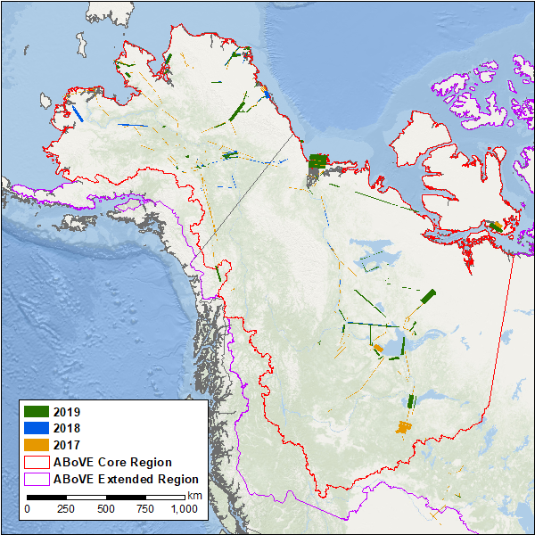
This dataset provides Level 1 radiance and Level 2 surface reflectance measured by the Airborne Visible/Infrared Imaging Spectrometer-Next Generation (AVIRIS-NG) instrument... -
Lake-DOC Database (PeRL-DOCv1), 1979-2017, Permafrost-Region
The pan-Arctic Permafrost-Region Lake-DOC version1 database contains surface water samples of lakes in the permafrost regions of Alaska (49.3 %), Canada (24.2 %), Greenland (3.2... -
Database of Ice-Rich Yedoma Permafrost Version 2 (IRYP v2)
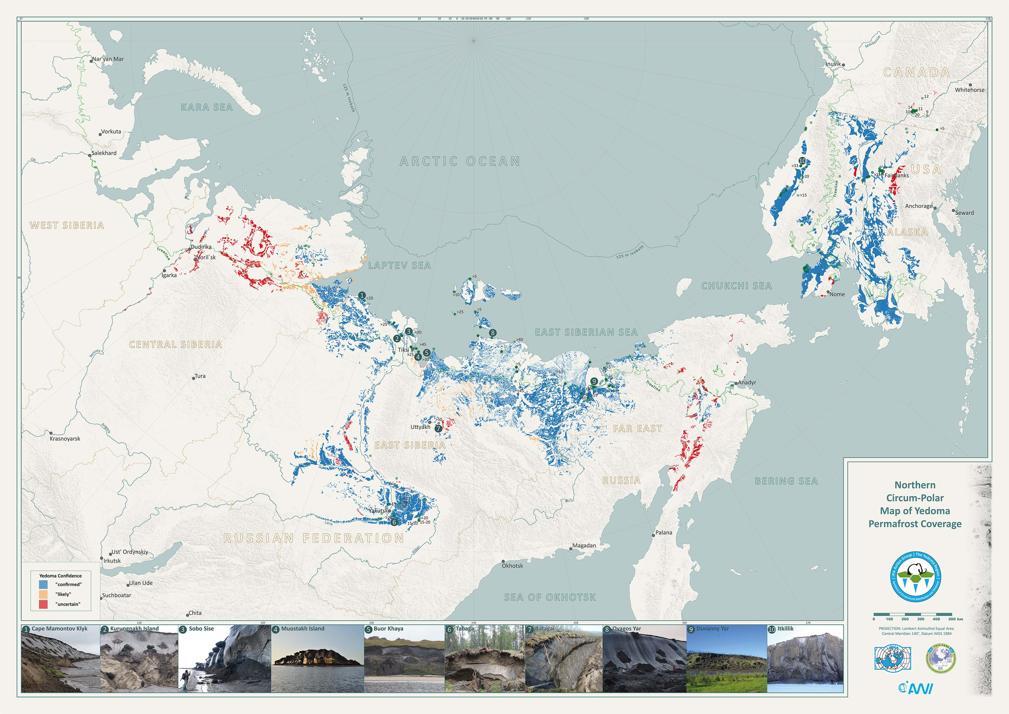
Ice-rich permafrost in the circum-Arctic and sub-Arctic, such as late Pleistocene Yedoma, are especially prone to degradation due to climate change or human activity. When... -
Lake Database from Landsat TM and ETM+,1970s, 2000s, 2013-2014, Western Alaska (US)
This vector data layer covers 6 major lake districts (Baldwin Peninsula, Kobuk Delta, Selawik Lowland, Northern Seward Peninsula, Central Seward Peninsula, and Yukon-Kuskokwim... -
Mapped thermokarst ice wedge polygon patterns from WorldView-1, 2009, Ebe-Basyn-Sise Island, SW Lena Delta, Siberia (RU)
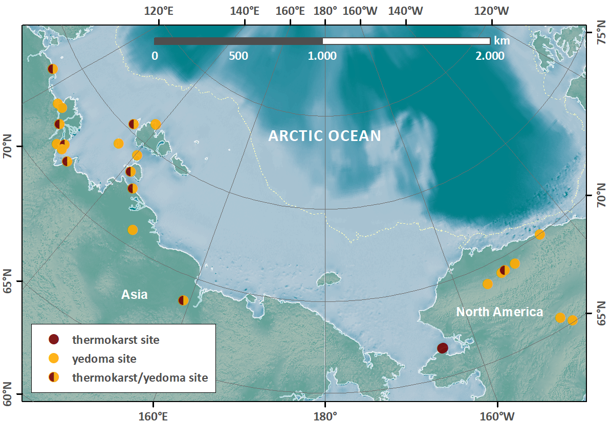
Detailed calculations of ground-ice volumes in permafrost deposits are necessary to understand and quantify the response of permafrost landscapes to thermal disturbance and... -
Database of Quaternary Deposits from Maps, East and Central Siberia (RU)
This digital database is the product of collaboration between the U.S. Geological Survey, the Alfred Wegener Institute for Polar and Marine Research Potsdam, Foothill College... -
Geochemical, lithological, and geochronological characteristics of sediment samples from Yedoma and thermokarst...
This dataset merges data from the yedoma domain in Northern Siberia (RU) and Alaska (US). It includes numerous fieldwork campaigns, which take place since 1998 . In total 224... -
Annual dynamics of rapid permafrost disturbances from Landsat and Sentinel-2, 2000-2019, Northeast Siberia (RU)
Permafrost is warming globally which leads to widespread permafrost thaw. Particularly ice-rich permafrost is vulnerable to rapid thaw and erosion, impacting whole landscapes... -
Mapped yedoma ice wedge polygon patterns from WorldView-1, 2009, Ebe-Basyn-Sise Island, SW Lena Delta, Siberia (RU)
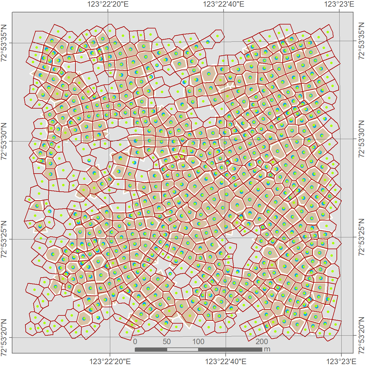
Detailed calculations of ground-ice volumes in permafrost deposits are necessary to understand and quantify the response of permafrost landscapes to thermal disturbance and... -
Mapped polygon pattern geomorphometry from HRSC-AX, 2009, Act-IWS Adventdalen, Svalbard (NO)
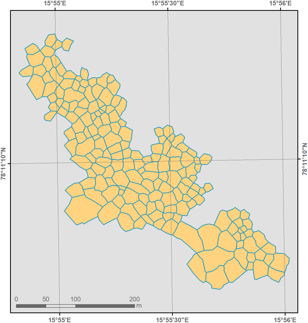
Polygonal systems formed by thermal contraction cracking are complex landscape features widespread in terrestrial periglacial regions. The manner in which cracking occurs is... -
Recovered Drained Thaw Lake Basins (DTLBs) from InSAR DEM and Remote Sensing Imagery, 2002-2010, Arctic Coastal...
Paleoshorelines of Drained Thaw Lake Basins (DTLBs) on the Alaskan North Slope were mapped using the Interferometric Synthetic Aperture Radar Digital Elevation Model (InSAR DEM)... -
Arctic Coastal Dynamics Classification Database
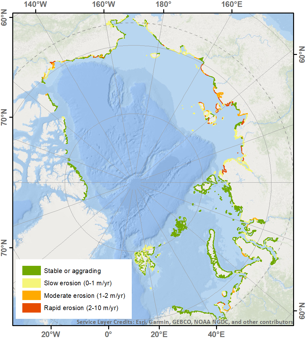
An important outcome of Arctic Coastal Dynamics I was the segmentation and characterization of the entire circum-Arctic coastline by regional experts which is presented in this... -
Footprints of MACS aerial images from POLAR 6 ThawTrend_Air_2019 flight campaign in northern Alaska (US)
This datasets contains the footprints of the DLR MACS (Modular Aerial Camera System) acquisitions (RGB + NIR) during the AWI ThawTrendAir2019 campaign on POLAR 6 from 10 July... -
Submarine Permafrost Map (SuPerMAP), modeled with CryoGrid 2, Circum-Arctic
This data set contains a first‐order estimate of distribution, thickness and ice-content of submarine permafrost on the Arctic shelf based on a numerical heat transfer model....

