• Logg inn
Arctic Permafrost Geospatial Centre
    • Datasett
    • Categories
    • Projects
    • Collections
    • Om
    • Map
  1. Hjem
  2. Grupper
  3. APGC latest
apgc-latest

APGC latest

Dynamic group for defining datasets for the "latest datasets" part of startpage. les mer

Datasett
86

Regions

  • Western Alaska (1)

Products

  • Corona Satellite... (1)

Sensors

  • Corona-KH4 (1)

Spatial Resolution

  • 6 m (1)

Temporal Resolution

Det er ingen Temporal Resolution som passer med dette søket

Keywords

  • Permafrost (1)

Data Formats

  • Geotiff (1)
  • PNG (1)

First Authors

  • Grosse, Guido (1)

Projects

  • Land Cover (1)

Institutes

  • AWI Alfred Wegener... (1)

Publishers

  • PANGAEA (1)

close
  • Datasett
  • Medlemmer
  • Om
  • Aktivitetsstrøm

Fant 1 datasett

Projects: Land Cover Sensors: Corona-KH4

Filterresultater
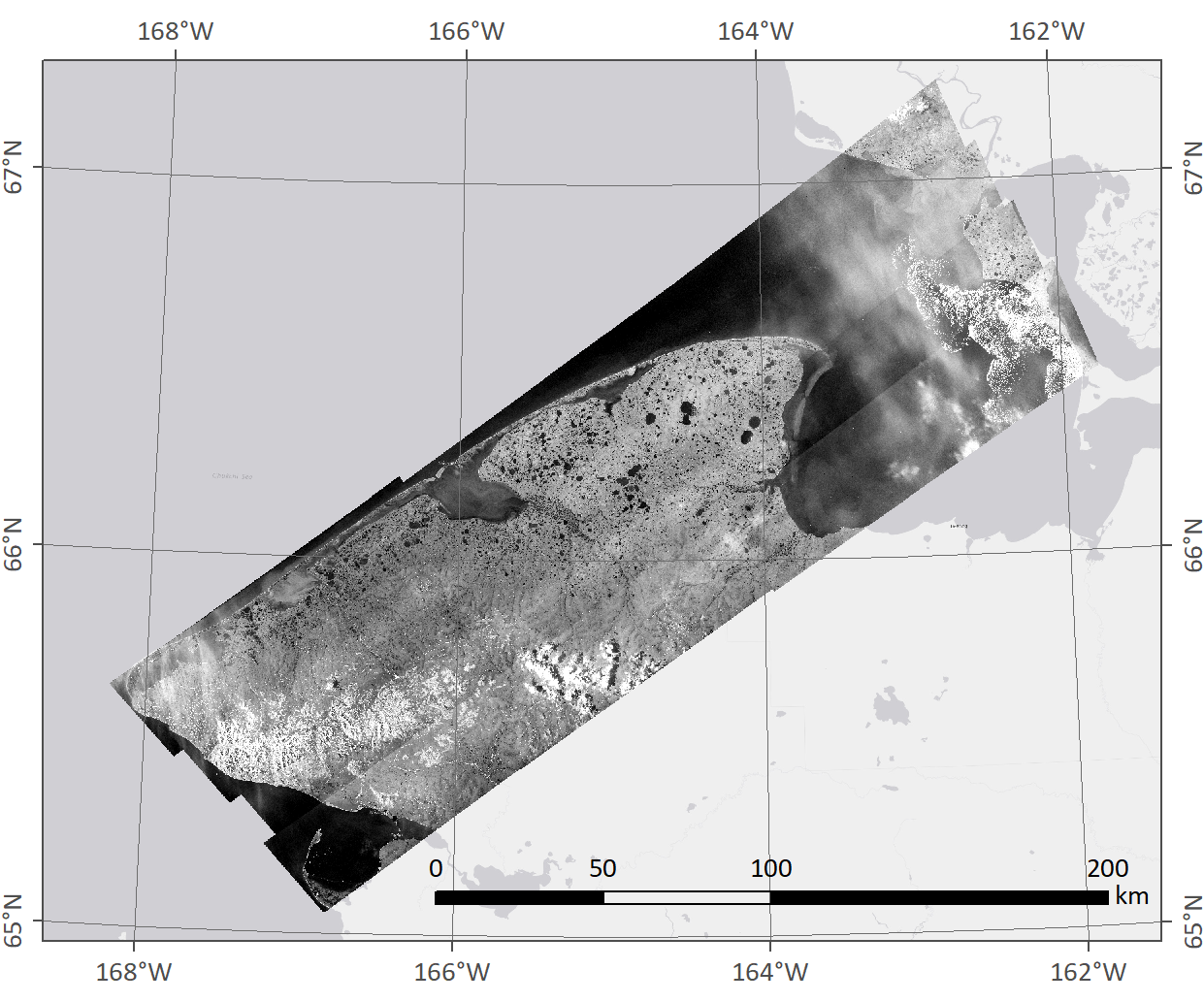
  • Satellite Photo Mosaic from Corona-KH4, 1962-06-28, Northern Seward Peninsula, Alaska (US)

    This raster dataset is a high-resolution mosaic of 4 Corona-KH4 satellite photos over the northern Seward Peninsula in Northwest Alaska dated to 28 July 1962. The mosaic covers...
    • Geotiff
    • PNG
  • Om Arctic Permafrost Geospatial Centre
  • CKAN API
  • Open Knowledge Foundation

  • Powered by CKAN

Initiated by

Provided by

Imprint | Privacy Notice