• Logg inn
Arctic Permafrost Geospatial Centre
    • Datasett
    • Categories
    • Projects
    • Collections
    • Om
    • Map
  1. Hjem
  2. Grupper
  3. Ground Deformation
ground-deformation

Ground Deformation

Permafrost Research Category les mer

Datasett
21

Regions

  • Circum-Arctic (1)

Products

  • Permafrost Extent... (1)

Sensors

Det er ingen Sensors som passer med dette søket

Spatial Resolution

  • 1000 m (1)

Temporal Resolution

Det er ingen Temporal Resolution som passer med dette søket

Keywords

  • Climate Scenario (1)
  • Geohazard Indices (1)
  • Infrastructure... (1)
  • Permafrost (1)

Data Formats

  • Geotiff (1)
  • HTML (1)
  • JPEG (1)
  • PDF (1)

First Authors

  • Karjalainen, Olli (1)

Projects

  • Ground Deformation (1)
  • Properties & Extent (1)
  • Socio-Economic (1)

Institutes

  • University of... (1)

Publishers

  • PANGAEA (1)

close
  • Datasett
  • Medlemmer
  • Om
  • Aktivitetsstrøm

Fant 1 datasett

Data Formats: Geotiff

Filterresultater
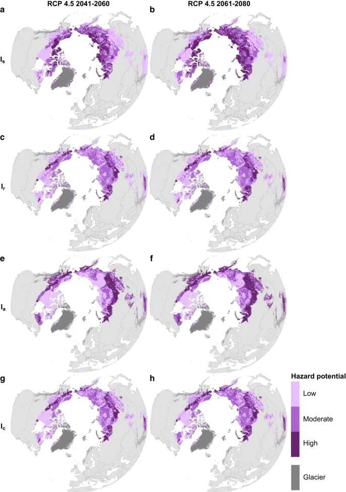
  • Circumpolar raster grids of permafrost extent and geohazard potential for near-future climate scenarios

    One of the consequences of warming climate is rising ground temperatures and degradation of perennially frozen ground, permafrost. Thawing of near-surface permafrost can cause...
    • JPEG
    • PDF
    • Geotiff
    • HTML
  • Om Arctic Permafrost Geospatial Centre
  • CKAN API
  • Open Knowledge Foundation

  • Powered by CKAN

Initiated by

Provided by

Imprint | Privacy Notice