-
Vegetation map of Trail Valley Creek from airborne orthophotos, laser scanning and field work data, Northwest...
The vegetation map distinguishes between five tundra vegetation types, trees, and open water at the forest-tundra transition north of Inuvik, Northwest Territories, Canada. The... -
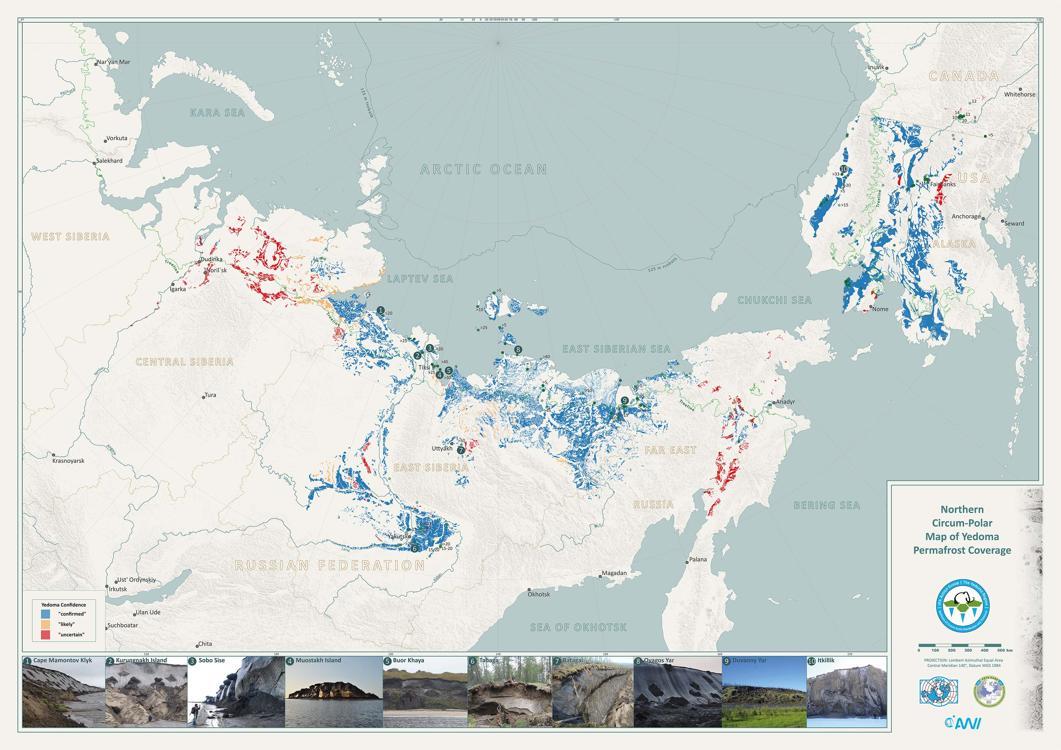
Database of Ice-Rich Yedoma Permafrost Version 2 (IRYP v2)
Ice-rich permafrost in the circum-Arctic and sub-Arctic, such as late Pleistocene Yedoma, are especially prone to degradation due to climate change or human activity. When... -
Cumulative greenhouse gas production in thawed sediments, 2019-2020, Yukechi Alas, Central Yakutia (RU)
This dataset describes two 17 m long sediment cores taken from beneath two thermokarst lakes in the Yukechi Alas, Central Yakutia, Russia. The first core was taken from below an...


