-
Maps of ice wedge thermokarst pool expansion from twenty-seven circumpolar survey areas
This repository includes data and code to accompany the manuscript 'Topography controls variability in circumpolar permafrost thaw pond expansion' by Abolt et al. The data... -
DARTS: Multi-year database of AI detected retrogressive thaw slumps (RTS) and active layer detachment slides (ALD)...
This dataset, called DARTS, comprises footprints of retrogressive thaw slump (RTS) and active layer detachments slides (ALD) identified and quantified using an automated deep... -
Arctic Coastal Human Impact dataset (SACHI) derived from Sentinel-1/2, 2016-2020, Circum-Arctic
The SACHI (Sentinel-1/2 derived Arctic Coastal Human Impact) V1 dataset was developed as part of the HORIZON2020 project Nunataryuk by b.geos (www.bgeos.com). V1 covered a 100km... -
The fractional land cover estimates from the Boreal–Arctic Wetland and Lake Dataset (BAWLD), 2021, Circum-Arctic
The Boreal and Arctic Wetland and Lake Dataset (BAWLD) provides estimates of fractional land cover of 19 land cover classes within 0.5° ×0.5° grid cells. The total area of the... -
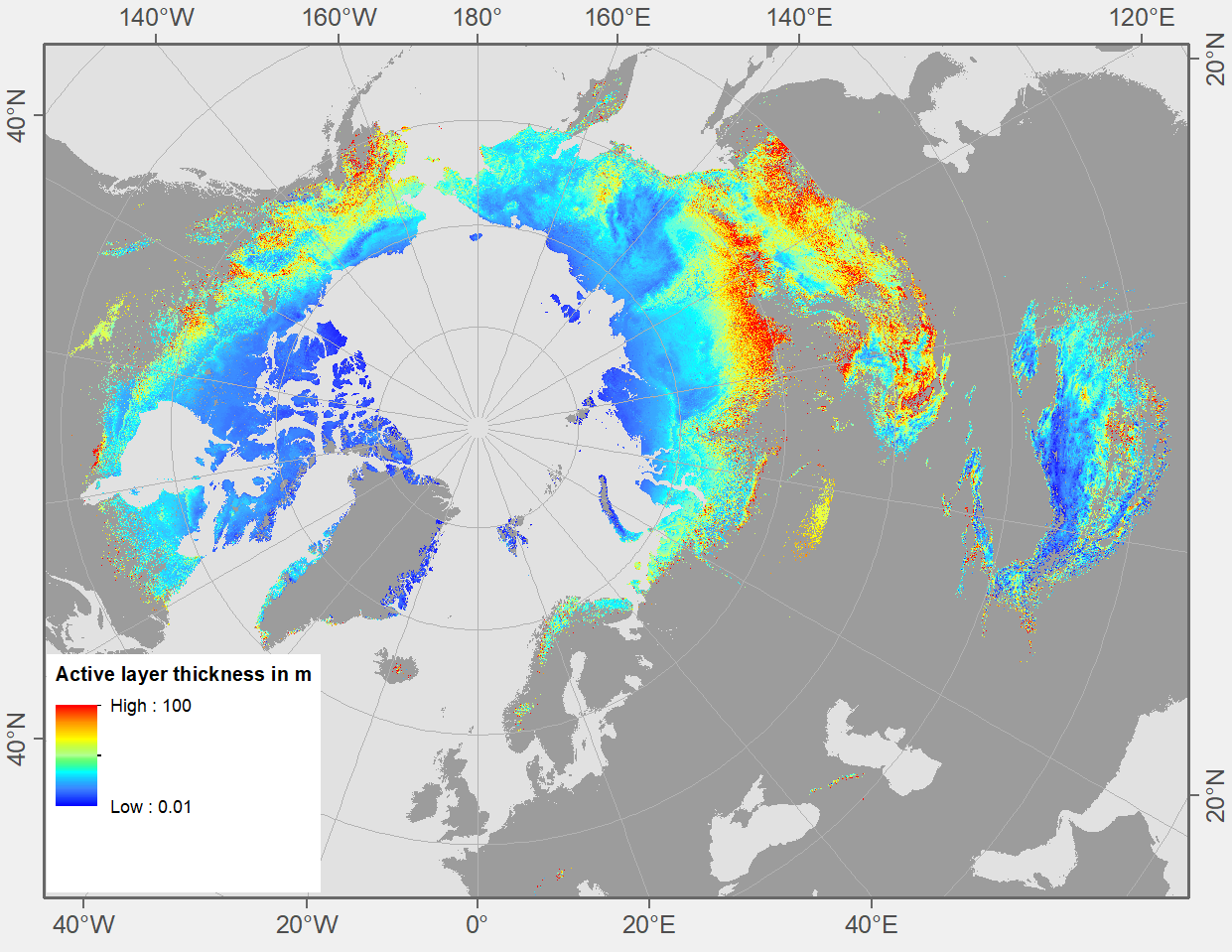
Permafrost active layer thickness for the Northern Hemisphere, v3.0 from MODIS LST, ERA5, 1997-2019
This dataset contains permafrost active layer thickness data produced as part of the European Space Agency's (ESA) Climate Change Initiative (CCI) Permafrost project. It forms...


