-
Maps of ice wedge thermokarst pool expansion from twenty-seven circumpolar survey areas
This repository includes data and code to accompany the manuscript 'Topography controls variability in circumpolar permafrost thaw pond expansion' by Abolt et al. The data... -
DARTS: Multi-year database of AI detected retrogressive thaw slumps (RTS) and active layer detachment slides (ALD)...
This dataset, called DARTS, comprises footprints of retrogressive thaw slump (RTS) and active layer detachments slides (ALD) identified and quantified using an automated deep... -
Pingo Database, 2022, Svalbard (NO)
The data contains the list of pingo and pingo-like forms over Svalbard archipelago. Each pingo is assigned with following data: coordinates, absolute height of pingo baseline,... -
Distribution and morphometry of pingos, western Canadian Arctic, Northwest Territories, (CA)
GIS shape files including spatial and morphometric data of pingos in the western Canadian Arctic and accompanying Excel spreadsheet summarizing metrics for pingos of differing... -
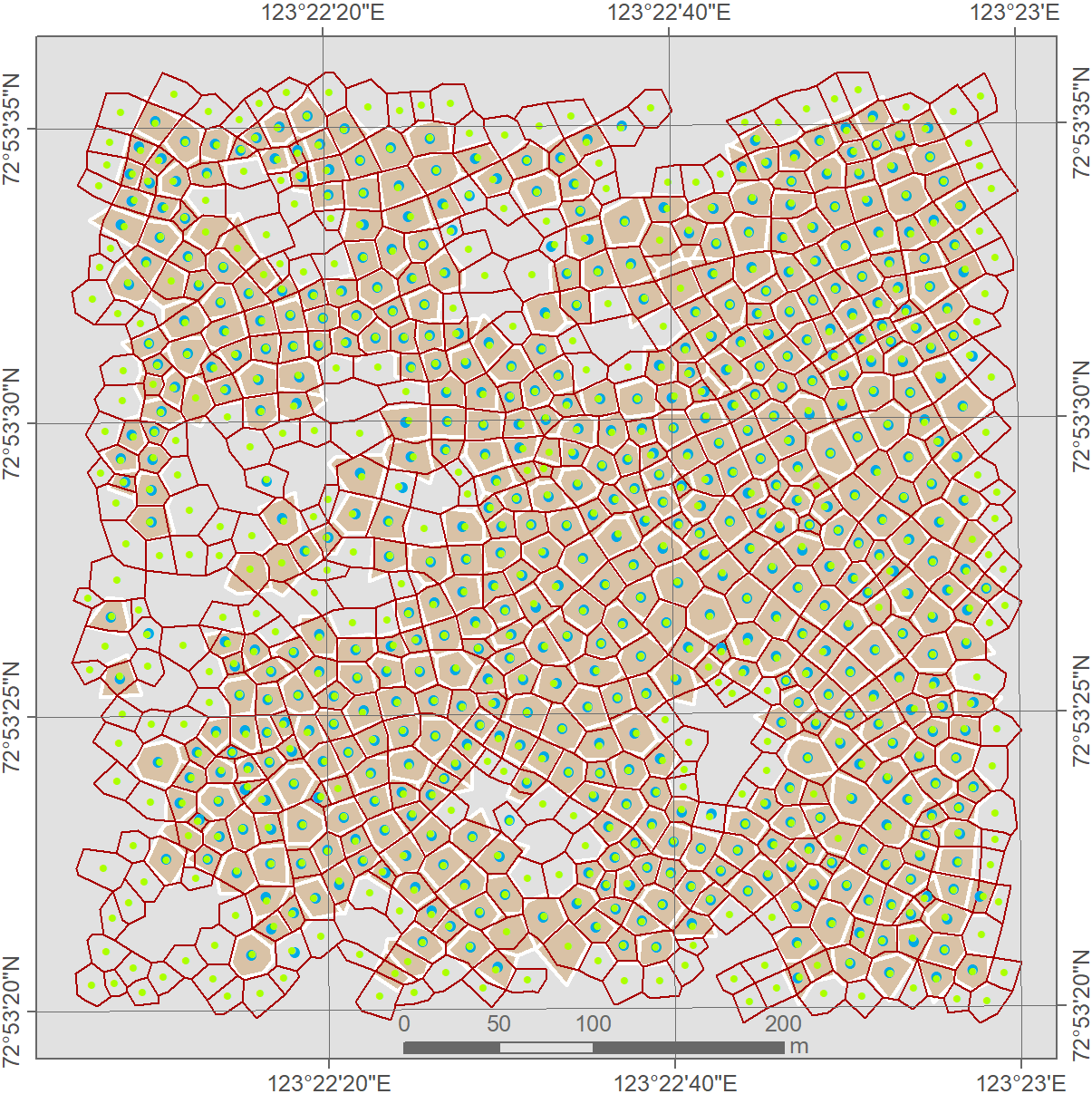
Mapped thermokarst ice wedge polygon patterns from WorldView-1, 2009, Ebe-Basyn-Sise Island, SW Lena Delta, Siberia (RU)
Detailed calculations of ground-ice volumes in permafrost deposits are necessary to understand and quantify the response of permafrost landscapes to thermal disturbance and... -
Mapped yedoma ice wedge polygon patterns from WorldView-1, 2009, Ebe-Basyn-Sise Island, SW Lena Delta, Siberia (RU)
Detailed calculations of ground-ice volumes in permafrost deposits are necessary to understand and quantify the response of permafrost landscapes to thermal disturbance and... -
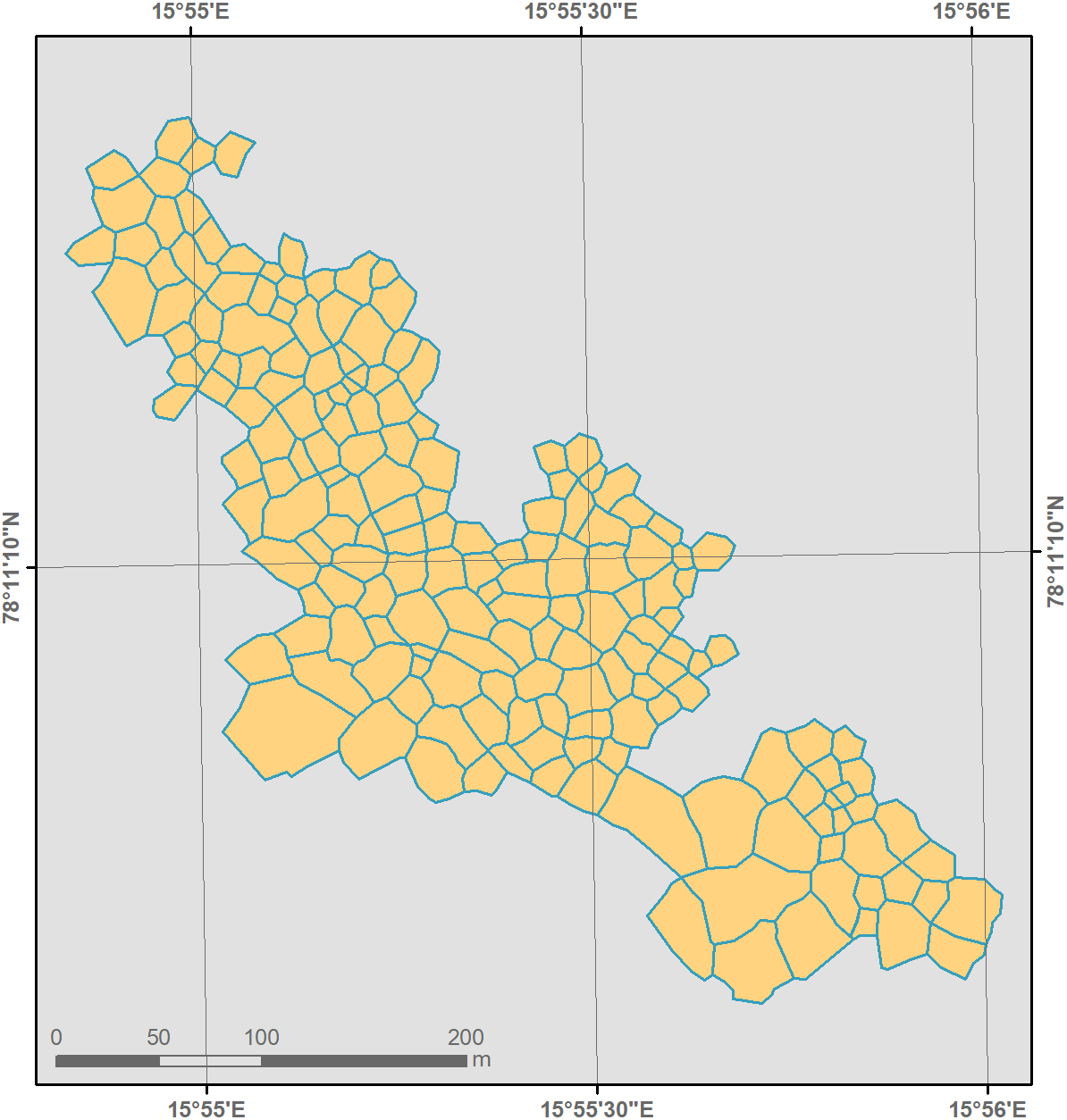
Mapped polygon pattern geomorphometry from HRSC-AX, 2009, Act-IWS Adventdalen, Svalbard (NO)
Polygonal systems formed by thermal contraction cracking are complex landscape features widespread in terrestrial periglacial regions. The manner in which cracking occurs is...


