Saltar al contenido principal
  • Iniciar sesión
Arctic Permafrost Geospatial Centre
    • Conjuntos de datos
    • Categories
    • Projects
    • Collections
    • Acerca de
    • Map
  1. Inicio
  2. Grupos
  3. PerSys
persys

PerSys

The Permafrost Information System (PerSys) is conceptualized as an open access geospatial data dissemination and visualization portal for the ESA GlobPermafrost project. PerSys... leer más

Conjuntos de datos
176

Regions

  • Circum-Arctic (1)

Products

  • Land Surface Temperature (1)

Sensors

  • MODIS (1)

Spatial Resolution

  • 25 km (1)

Temporal Resolution

  • Weekly (1)

Keywords

  • Land Surface Temperature (1)
  • MODIS (1)
  • Permafrost (1)

Data Formats

  • Geotiff (1)
  • PDF (1)
  • PNG (1)

First Authors

  • Duguay, Claude R. (1)

Projects

  • ESA DUE Permafrost (1)
  • MODIS Land Surface... (1)
  • PAGE21 (1)
  • PerSys (1)
  • Properties & Extent (1)

Institutes

  • University of Waterloo (1)

Publishers

  • PANGAEA (1)

close
  • Conjuntos de datos
  • Miembros
  • Acerca de
  • Flujo de actividad

1 conjunto de datos encontrado

Spatial Resolution: 25 km

Filtrar resultados
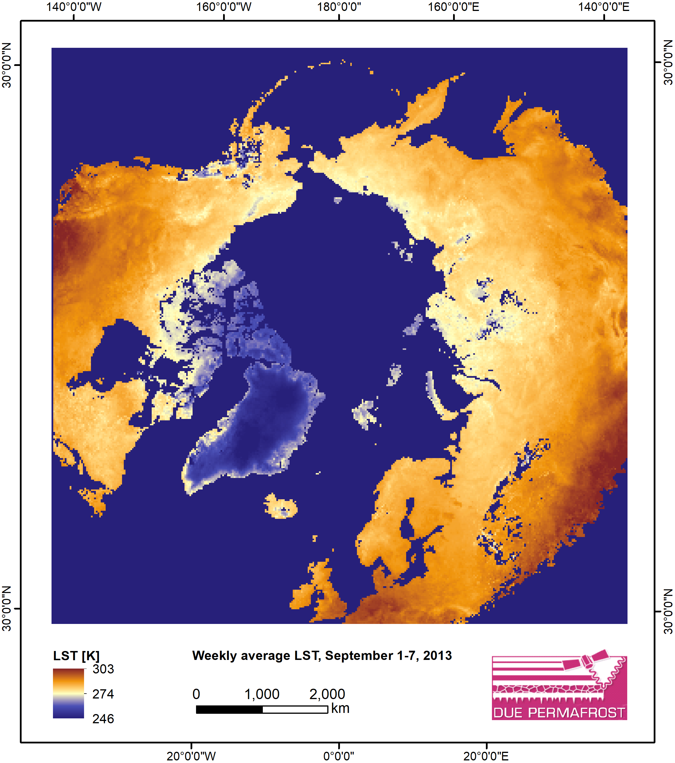
  • Weekly Land Surface Temperature from MODIS, 2007-2013, Circum-Arctic Region

    Weekly land surface temperature (LST) products of the ESA Data User Element (DUE) Permafrost are provided at 1 km spatial resolution. Weekly LST are available for the years 2007...
    • PNG
    • PDF
    • Geotiff
  • Acerca de Arctic Permafrost Geospatial Centre
  • API CKAN
  • Open Knowledge Foundation

  • Powered by CKAN

Initiated by

Provided by

Imprint | Privacy Notice