• 登入
Arctic Permafrost Geospatial Centre
    • 資料集
    • Categories
    • Projects
    • Collections
    • 關於
    • Map
  1. 首頁
  2. 組織
  3. SNAP Data Portal
snap

SNAP Data Portal

This is the data portal for the Scenarios Network for Alaska and Arctic Planning (SNAP)

讀取更多

追蹤者
0
資料集
2
成員
0

Regions

  • Arctic Coastal... (1)

Products

  • Geomorphology Map (1)

Sensors

  • Landsat (OLI) (1)

Spatial Resolution

  • 30 m (1)

Temporal Resolution

  • June to August (1)

Keywords

  • Geomorphology (1)
  • Land Cover (1)
  • Permafrost (1)

Data Formats

  • CLR (1)
  • dBase (1)
  • Geotiff (1)
  • HTML (1)
  • JPEG (1)

顯示更多 Data Formats

First Authors

  • Lara, Mark J. (1)

Projects

  • Land Cover (1)
  • Landscape Dynamics (1)

Institutes

  • University of... (1)

Publishers

  • SNAP Data Portal (1)

close
  • 資料集
  • 成員
  • 關於
  • 動態牆

找到1個資料集

Data Formats: CLR

篩選結果
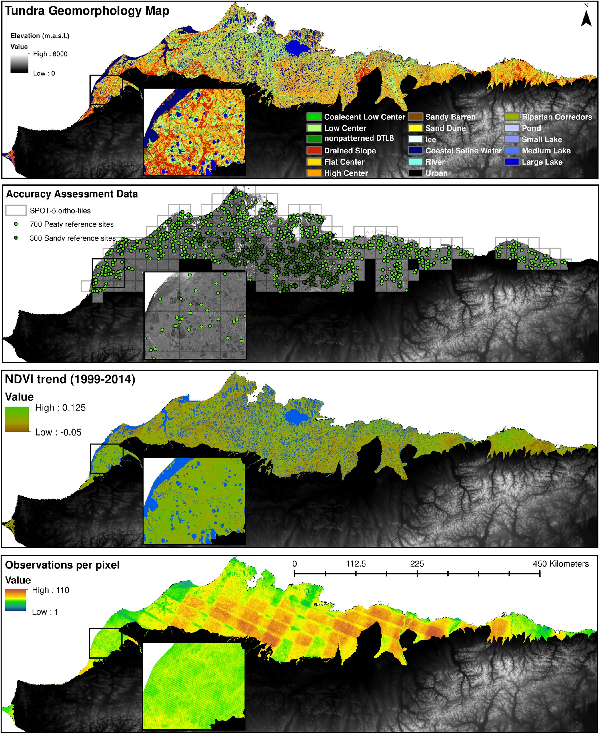
  • Polygonal Tundra Geomorphology Map from Landsat time series, 2014, Alaskan Arctic Coastal Plain (US)

    We mosaicked twelve LandSat-8 OLI satellite images taken during the summer of 2014, which were used in an object based image analysis (OBIA) to classify the landscape. We mapped...
    • Geotiff
    • dBase
    • CLR
    • XML
    • HTML
    • JPEG
  • 關於Arctic Permafrost Geospatial Centre
  • CKAN API
  • Open Knowledge Foundation

  • Powered by CKAN

Initiated by

Provided by

Imprint | Privacy Notice