• 로그인
Arctic Permafrost Geospatial Centre
    • 데이터셋
    • Categories
    • Projects
    • Collections
    • 소개
    • Map
  1. Home
  2. 조직
  3. PANGAEA
pangaea

PANGAEA

Data Publisher for Earth & Environmental Science

더 읽기

팔로워
0
데이터셋
265
멤버
0

Regions

  • Circum-Arctic (1)

Products

  • Land Surface Temperature (1)

Sensors

  • MODIS (1)

Spatial Resolution

  • 25 km (1)

Temporal Resolution

  • Weekly (1)

Keywords

  • Land Surface Temperature (1)
  • MODIS (1)
  • Permafrost (1)

Data Formats

  • Geotiff (1)
  • PDF (1)
  • PNG (1)

First Authors

  • Duguay, Claude R. (1)

Projects

  • ESA DUE Permafrost (1)
  • MODIS Land Surface... (1)
  • PAGE21 (1)
  • PerSys (1)
  • Properties & Extent (1)

Institutes

  • University of Waterloo (1)

Publishers

  • PANGAEA (1)

close
  • 데이터셋
  • 멤버
  • 소개
  • 활동 흐름

1개 데이터셋을 찾았습니다

Spatial Resolution: 25 km

필터 결과
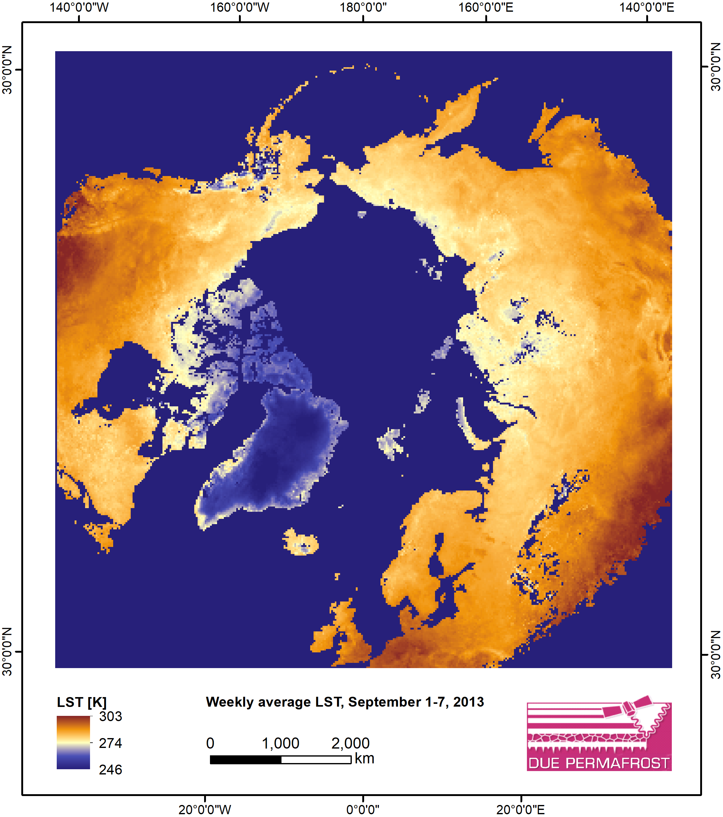
  • Weekly Land Surface Temperature from MODIS, 2007-2013, Circum-Arctic Region

    Weekly land surface temperature (LST) products of the ESA Data User Element (DUE) Permafrost are provided at 1 km spatial resolution. Weekly LST are available for the years 2007...
    • PNG
    • PDF
    • Geotiff
  • About Arctic Permafrost Geospatial Centre
  • CKAN API
  • Open Knowledge Foundation

  • Powered by CKAN

Initiated by

Provided by

Imprint | Privacy Notice