-
Raster Circumpolar Arctic Vegetation Map (CAVM) from AVHRR, MODIS and elevation data
Land cover maps are the basic data layer required for understanding and modeling ecological patterns and processes. The Circumpolar Arctic Vegetation Map (CAVM), produced in...
-
Weekly Land Surface Temperature from MODIS, 2007-2013, Circum-Arctic Region
Weekly land surface temperature (LST) products of the ESA Data User Element (DUE) Permafrost are provided at 1 km spatial resolution. Weekly LST are available for the years 2007...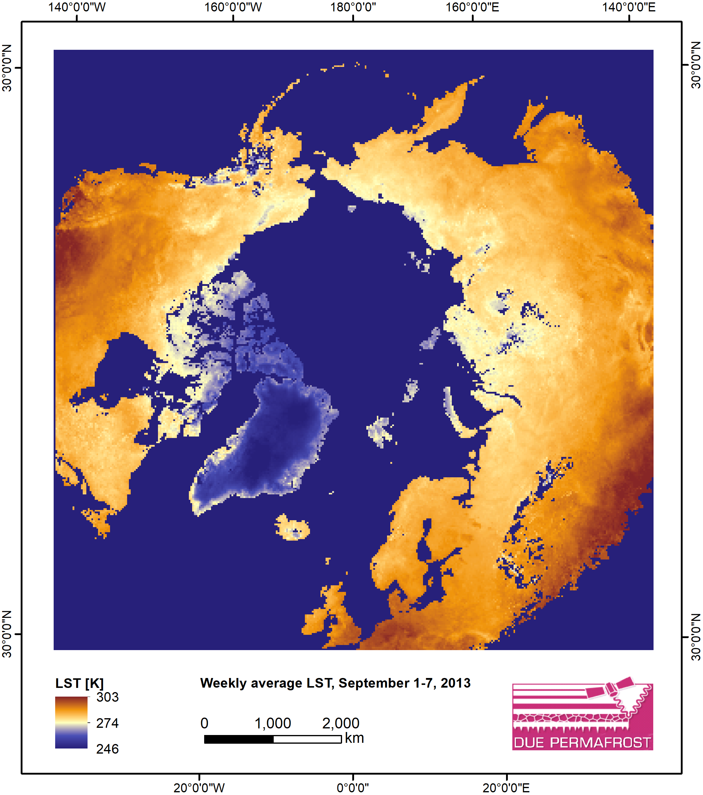
-
Monthly Land Surface Temperature from MODIS, 2007-2013, Circum-Arctic Region
Monthly land surface temperature (LST) products of the ESA Data User Element (DUE) Permafrost are provided at 1 km spatial resolution for the Alaska, Mackenzie, Laptev Sea...
